
Archive
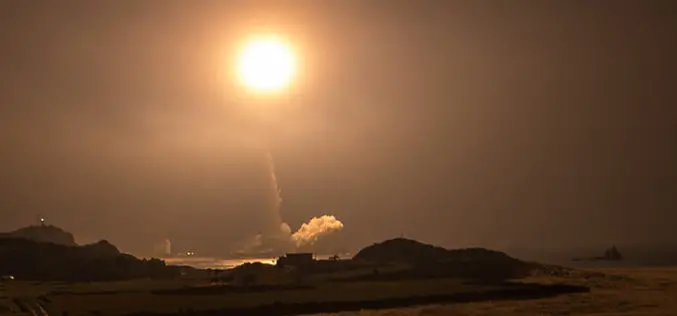
Global Precipitation Measurement Mission Launches Successfully
The world has enters a new era of global weather observing and climate science on February 27, 2014, at 1:38 p.m. Eastern Standard Time. GPM, a joint mission between NASA

Research Experiences for Undergraduates (REU)
The National Science Foundation (NSF) is an independent federal agency created by Congress in 1950 “to promote the progress of science; to advance the national health, prosperity, and welfare; to
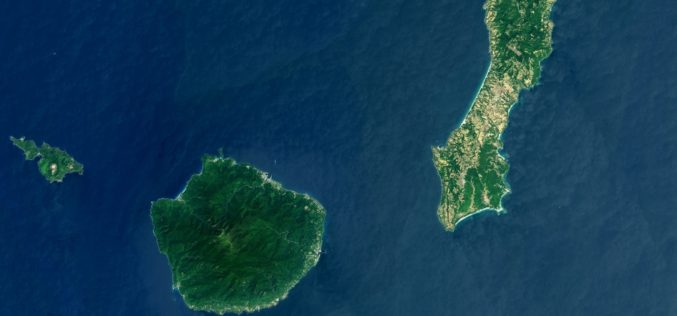
Landsat 8 Eyes Japan, GPM Launch Site
This Landsat 8 satellite image of some southern Japanese islands includes Tanegashima (far right), from where the Global Precipitation Measurement, or GPM, mission’s Core Observatory is scheduled to blast into

Bears from Space: Scientists Try to Count Polar Bears Using Satellite Imagery
They look like tiny white specks on a mottled grey background. They’re polar bears seen from space — using the newest tool in the kit for scientists to monitor Canada’s
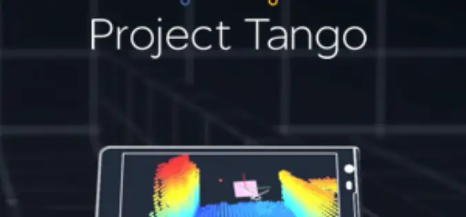
Google’s Project Tango
The goal of Project Tango is to give mobile devices a human-scale understanding of space and motion. Project Tango is the outcome of Google team working with universities, research labs,
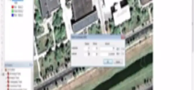
Georeferencing Google Earth images
This will help to understand how to Georeferencing Google Earth images.
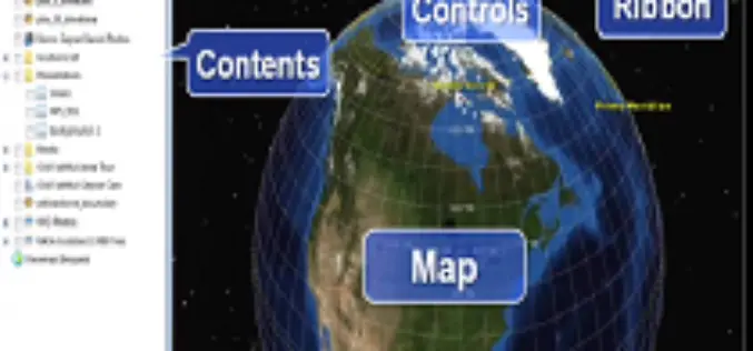
ArcGIS Explorer Quick Start Tutorial
In this seminar, we’ll overview what ArcGIS Explorer is, and what you can do with it. We’ll talk about how you install it, and things to check before you begin.
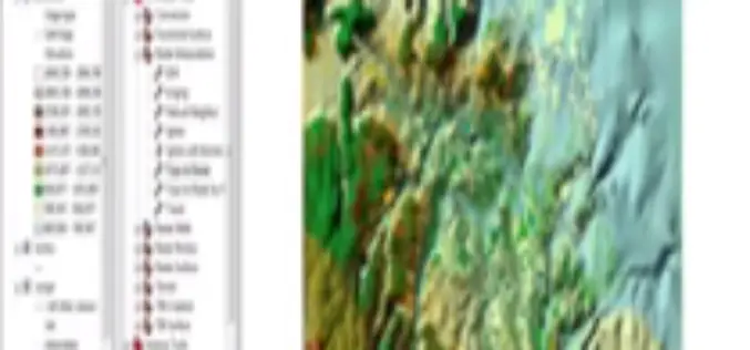
ArcGIS – ArcScene – 3D
ArcScene is a 3D visualization application that allows you to view your GIS data in three dimensions. ArcScene allows you to overlay many layers of data in a 3D environment.
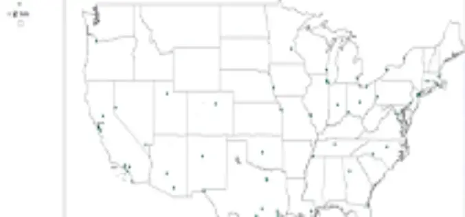
Using ArcMap 10 to join Excel data with a shapefile
This video uses the join method to add user created data from an Excel file to a shapefile of airport locations
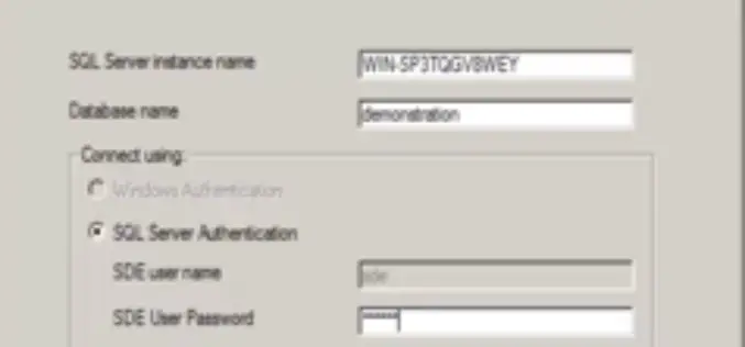
Installation of ArcSDE 10 on SQL Server 2008 R2
Installation of ArcSDE 10 on SQL Server 2008 R2
