
Archive
Terrestrial Laser Scanning Reveals Seagrass Microhabitat Structure on a Tideflat
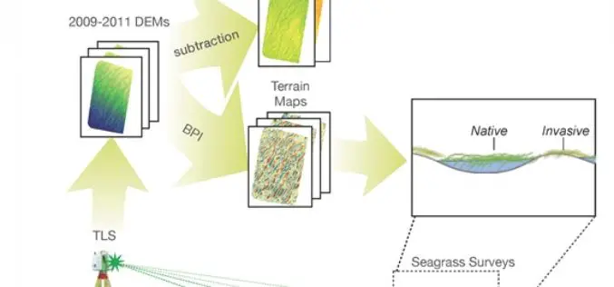
Terrestrial Laser Scanning Reveals Seagrass Microhabitat Structure on a Tideflat – Michael Hannam and L. Monika Moskal Abstract: Local-scale environmental heterogeneity can provide microhabitats that influence the spatial distribution of competing species.

Photogrammetry Workshop by Ball State University
Department of Landscape Architecture, College of Architecture and Planning Ball State University is providing open and free workshop on photogrammetry. Ball State University, commonly referred to as Ball State or BSU,
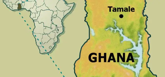
Institute of Local Government Studies (ILGS), Ghana Launches Centre for Geospatial Intelligence Services
The Institute of Local Government Studies, which aims at building capacity for local governance, has launched the Centre for Geospatial Intelligence Services (CGIS) and the Local Governance Observatory (LGO). Centre for

New Delhi to Go 3D Mapping for Smart City
According to recent news, New Delhi Municipal Council will soon start 3D mapping of city as a part of smart city project.Smart city optimally utilize information technology to habilitate the

Ordnance Survey Reaches Open Data Milestone
The number of times Ordnance Survey Open Data has been downloaded since its April 2010 launch has now exceeded the one million mark. Ordnance Survey also believe that millions of people come
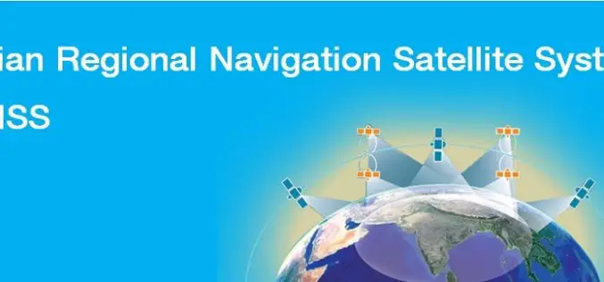
India’s Own Satellite Navigation System – IRNSS
Submitted by: A satellite navigation system is a system of satellites that provide location (longitude, latitude, and altitude) to high precision (within a few metres) with small electronic receivers. The electronic receivers calculate the current local time to high

Two New Satellites Join The Galileo Constellation
28 March 2015 – The EU’s Galileo satellite navigation system now has eight satellites in orbit following the launch of the latest pair. Galileo 7 & 8 lifted off at
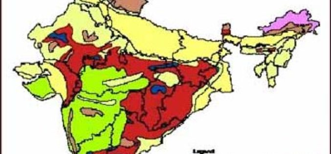
3D Mapping of Groundwater Resources of India
In recent news by Deccan Chronicle, National Geophysical Research Institute (NGRI) is planning to take up a massive a groundwater mapping programme across the entire landmass of India using advanced
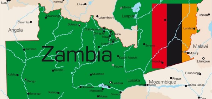
Poverty Mapping Tool for Better Resource Allocation
The Zambian government has launched a poverty mapping tool which reveals data about highly impoverished areas in the country. Poverty mapping tool will help the southern African nation to know the
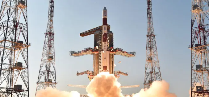
IRNSS-1D, 4th Satellite of IRNSS Constellation Launched Successfully
Today (Mar. 28, 2015) ISRO’s Polar Satellite Launch Vehicle, PSLV-C27, successfully launched IRNSS-1D from Satish Dhawan Space Centre, Sriharikota. The satellite is one among the seven of the IRNSS constellation
