Aircraft Likely To Be Used For Mapping Ganga Basins to Rid It of Pollution
Purpose Aircraft would be used for mapping the river to closely capture pictures of flood plains, necessary for preparing a database for plans to cleanse it of pollutants
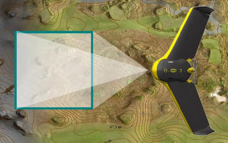
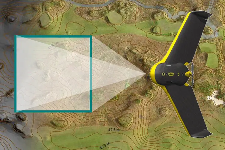
Fitted with powerful cameras, Special Purpose Aircraft may soon fly over the Ganga to survey the river as it courses through five states for a geospatial mapping of its basin to rid it of pollution and encroachment.
The survey would be conducted under the ambitious ‘Namami Gange’ programme of the NDA Government which aims at rejuvenating the highly polluted holy river.
Sources at the National Mission for Clean Ganga (NMCG) said Special Purpose Aircraft would be used for mapping the river to closely capture pictures of flood plains, necessary for preparing a database for plans to cleanse it of pollutants.
“The aerial survey would be conducted in the five Ganga flowing states of Uttarakhand, Uttar Pradesh, Bihar, Jharkhand and West Bengal. The database is essential for all sorts of planning (relating to the river),” NMCG sources said, adding the Dornier-sized aircraft would fly at above 500 metres to click images.
Bhagirathi, the source stream of the Ganga emanates from Gangotri glacier at Gaumukh at an altitude of 3892 metres. Ganga traverses five state during its course of 2525 km before flowing into the Bay of Bengal.
NMCG, which functions under the Union Ministry of Water Resources, River Development and Ganga Rejuvenation, is in discussions with the Survey of India and Indian Space Research Organisation for the purpose, an official said.
The authorities are also contemplating using an advanced laser technique called LIDAR, a visual system that uses reflections from a laser to map the terrain, for the survey.
“This aerial survey would accurately establish the exact location of various structures situated on the banks of the river,” an official said. The mapping would come in handy to get a clear picture of the location of structures constructed in violation of the norms on the flood plains of the river to help remove encroachment .
– PTI