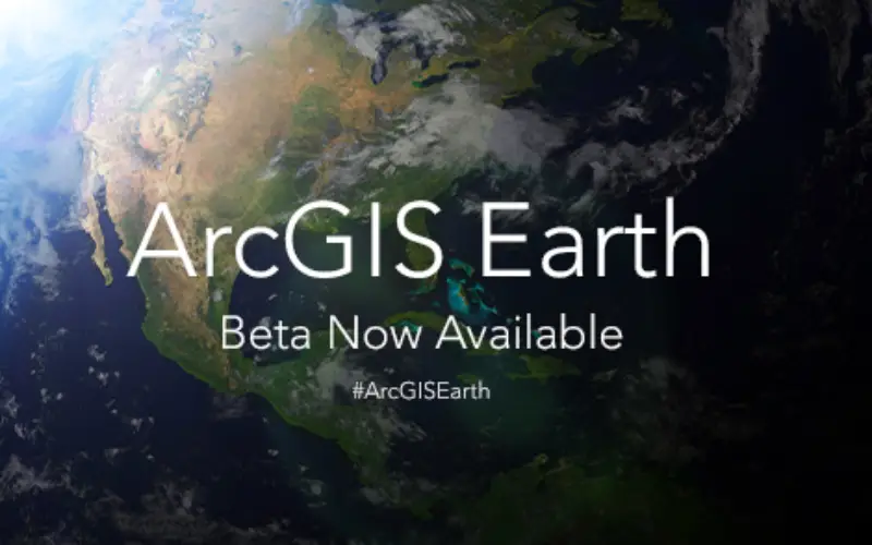
Sign up for the beta program for ArcGIS Earth beta to download, Esri’s new 3D app. By participating in the program, you will be among the first to test-drive a prerelease version of ArcGIS Earth and experience how it works.
Credit: Esri
ArcGIS Earth is a desktop-based viewer that enables anyone in the enterprise to rapidly open and work with 3D and 2D map data displayed on the globe. ArcGIS Earth can read Esri services and shapefiles and open standard formats (KML, KMZ). Users can display data and access popups with links and images, email and print map images, and launch the app from email or a file browser. ArcGIS Earth is fully integrated with the ArcGIS platform so you can work with data stored behind the firewall in ArcGIS for Server, or on ArcGIS Online, and securely access, share, and publish maps and data. ArcGIS Earth is planned to be released later this year as a free app available for anyone who wants to view and understand spatial information.
Esri invites user feedback on ArcGIS Earth. Help Esri to shape ArcGIS Earth for the December 2015 release by letting know what you think. Feedbacks are invited as early as possible to improve the user experience, validate features, and discover any issues that would make the app work better for you.
With the beta version, you will be able to
- Display KML layers in 3D.
- Connect to Esri RESTful services including feature, map, image, and scene services.
- Browse Esri basemaps and Living Atlas of the World content.
- Save your view as an image and share it with others via email.
- Securely access data stored in ArcGIS for Server on premises or in ArcGIS Online.
- Create placemarks by drawing points, line, polygons on the globe.
Who should participate in the ArcGIS Earth beta?
- Anyone who currently works with Google Earth Enterprise
- Anyone with a need to rapidly view data on a globe using shapefiles or KML data
- Anyone considering tools to allow non-GIS specialists in their organization to view map data quickly and easily.
Sign Up for ArcGIS Earth Beta