
Posts From GIS Resources

6 Tips for Choosing the Right Transportation Management Software
In today’s fast-paced and intricately connected world, the efficiency of logistics and supply chain management largely hinges on the robustness of transportation management software (TMS). The right TMS can be
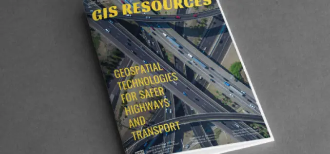
GIS Resources Magazine (Issue 4 | December 2023): Geospatial Technologies for Safer Highways and Transport
GIS Resources is pleased to announce the publication of its 4th edition (December 2023) of the print and digital magazine. The edition is titled “Geospatial Technologies for Safer Highways and Transport.”

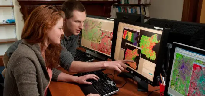
How Much Are Salaries in the Geospatial Industry
Have you ever wondered about the financial rewards of a career in the rapidly evolving geospatial industry? This interdisciplinary field, merging geography with cutting-edge technology, is not only fascinating but

Impact Of Advancements in Computational Mathematics on Geospatial Technology
Advancements in geospatial technology have led to incredible progress in various sectors, from urban planning to environmental management. Among the many factors contributing to this progress, computational mathematics takes center
Branding a Geospatial Company – Step to Step
Establishing a brand for your geospatial company is key to your success and can be overwhelming if you need help knowing where to start. This blog will provide a step-by-step

How to Improve Sales in the Geospatial Industry
It’s true — the digital mapping and analytics world is rapidly expanding, opening up new opportunities for businesses that know how to leverage this technology. However, despite its technological advancements

India and US to Enhance Earth Understanding with NISAR Satellite Launch in Early 2024
In a landmark collaboration, India and the United States are set to launch NISAR, a joint microwave remote sensing satellite for Earth observation, in the first quarter of next year,

Which Cloud GIS Software to Choose?
The best cloud platform should be chosen for GIS projects because it will have a big impact on their success. For GIS projects, cloud computing offers a variety of benefits,
Trimble Support for India’s Commitment to the UAV Industry
Trimble Contributes Inertial Navigation Solutions to the Indian Institute of Technology in Kanpur Supporting the Country’s Commitment to Becoming a Leader in the UAV Industry Students in India to learn

New RIEGL Laser Scanning Solutions for UAV-based Data Acquisition
With their latest developments, RIEGL once again underlines its pioneering role as a provider of high-performance LiDAR sensors and systems for integration with UAS. The ongoing trend in the UAS
