
Posts From GIS Resources
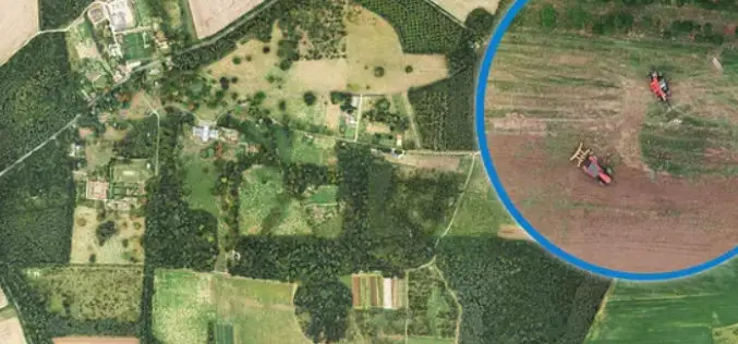
Bluesky Aerial Photomaps Help Outfield Reveal Secrets to Improving Farm Management
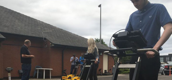
December 4, 2018 – Ultra high-resolution aerial photography and 3D landscape models from Bluesky are helping Outfield Technologies develop innovative image recognition techniques to improve agricultural land management and crop
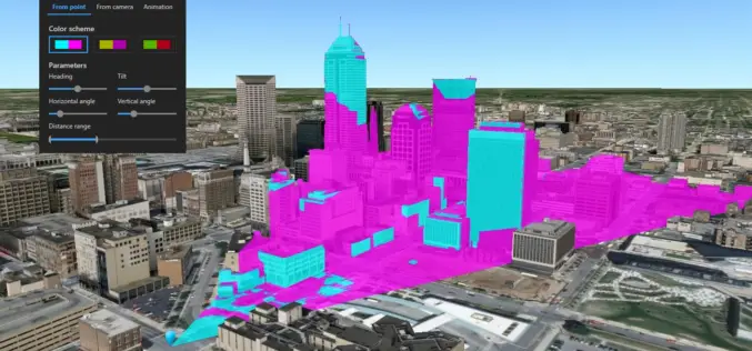
What’s New in ArcGIS Earth v1.8?
Recently Esri has introduced the latest version of ArcGIS Earth v1.8. ArcGIS Earth 1.8 delivers interactive analysis tools such as elevation profile, 3D measure, line of sight, and viewshed—with much more

HawkEye 360 Announces Successful Launch of First Three Satellites
The First Company to Commercialize RF Analytics Derived From Formation-Flying Satellites Herndon, Virginia (December 3, 2018) — HawkEye 360 Inc. today announced the successful launch of the company’s Pathfinder mission —
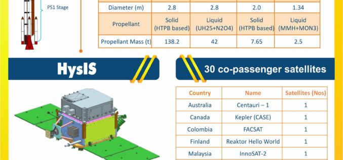
India Successfully Launches Hyper-Spectral Imaging Satellite (HysIS)
Nov 29, 2018 – ISRO – Today, the Indian Space Research Organisation’s (ISRO) Polar Satellite Launch Vehicle (PSLV-C43) successfully launched 31 satellites from Satish Dhawan Space Centre (SDSC) in Sriharikota. The
HERE Location APIs and Services Now Available to Developers on AWS Marketplace
HERE location platform integrated within AWS Marketplace Enterprise-grade, SLA-backed location services powered by the HERE location platform Up to 250k transactions per month for free, including commercial use November 27,
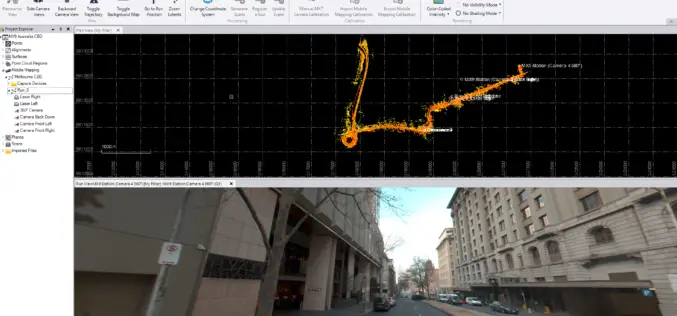
Trimble’s TBC v5.00 Now Available
Trimble Business Center’s field-to-finish survey CAD software helps surveyors deliver high-accuracy GNSS data, create CAD deliverables, and leverage full data traceability throughout a project’s lifecycle. Trimble Business Center allows you

Geospatial Commission UK to Launch £1.5 Million Geospatial Competition
The Geospatial Commission has partnered with Innovate UK to launch a new government competition, where organisations can apply for a share of £1.5 million to fund projects which use data

Bluesky uses Leica CityMapper to capture major UK cities in 3D
Heerbrugg, Switzerland, 21 November 2018 – Leica Geosystems, part of Hexagon, announced today the Leica CityMapper, the world’s first hybrid airborne sensor combining vertical and oblique aerial imagery together with
Leica Geosystems Offers New Utility Surveyor Course
Heerbrugg, Switzerland – 20 November 2018 – Leica Geosystems, part of Hexagon, announced today the launch of a new five-day Utility Surveyor Course provided at its Detection Training Campus in Stoke-on-Trent, Staffordshire, UK. To
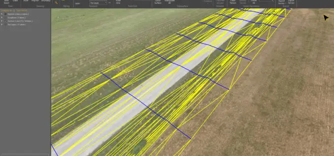
Virtual Surveyor 6.1 Handles More Than Drone Data
Saves Time and Money on Extra SW LEUVEN, Belgium, 13 November 2018 – Virtual Surveyor, the popular drone surveying software, has eliminated the need for clients to use third-party applications
