
Business
New Diamond DA62 MPP SurveyStar for the RIEGL Test Aircraft Fleet
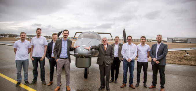
The new DA62 MPP SurveyStar has been delivered by Diamond Aircraft Austria to RIEGL Laser Measurement Systems and it will be immediately implemented for test and calibration flights. RIEGL and

RIEGL Announces the Opening of a New International Office in Munich, Germany
RIEGL – A leading international provider of high-performance technology in the field of airborne, mobile, terrestrial and UAV-based laser scanning solutions for surveying applications – is strengthening its presence in
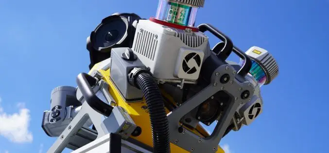
Trimble Introduces MX90 Mobile Mapping System
Trimble has announced the leading-edge Trimble® MX90 mobile mapping system. With state-of-the-art Trimble GNSS and inertial technology, when combined with Trimble field and office software, the Trimble MX90 provides a

Wingtra Announces the Launch of Groundbreaking LIDAR Drone Solution
Wingtra, a leader in drone technology, is excited to announce the launch of its innovative LIDAR drone solution, a significant advancement in drone LIDAR technology. The new Wingtra LIDAR payload
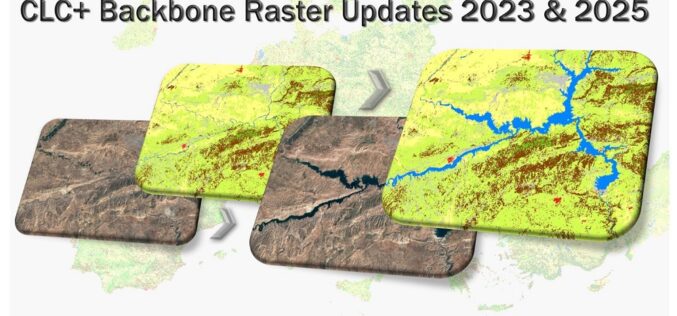
CLC+ Backbone Raster Product Updates for the Reference Years 2023 and 2025 Awarded
The European Environment Agency (EEA) has awarded an international consortium led by GAF AG with partners GeoVille, e-GEOS and Telespazio Ibérica, with the production of the updates of the CLC+

TRC Companies, Inc. Acquires Locana, A Global Leader in Enterprise Geospatial Solutions and Services
Expands TRC’s Digital Portfolio with Broad-based Location Intelligence Capabilities TRC Companies, Inc. (TRC), an environmentally focused and digitally powered global solutions firm, announced the expansion of its geospatial technology and location intelligence
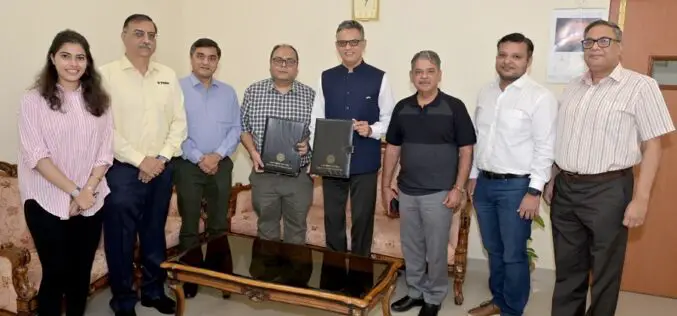
Trimble Support for India’s Commitment to the UAV Industry
Trimble Contributes Inertial Navigation Solutions to the Indian Institute of Technology in Kanpur Supporting the Country’s Commitment to Becoming a Leader in the UAV Industry Students in India to learn

New RIEGL Laser Scanning Solutions for UAV-based Data Acquisition
With their latest developments, RIEGL once again underlines its pioneering role as a provider of high-performance LiDAR sensors and systems for integration with UAS. The ongoing trend in the UAS
Esri Integrates with Microsoft Fabric to Deliver Leading Spatial Analytics Capabilities
Esri’s Interactive Mapping and Data Exploration Delivers 140 Spatial Analytics Tools and Functions into the Fabric User Experience To meet the growing demand for spatial analytics, Esri is extending its
Esri and National Geographic Society Launch National Geographic MapMaker
Newly Updated Online Interactive Mapping Tool Empowers Students, Teachers, and Individuals Everywhere to Explore the World through Geography By learning about mapping skills and geography, students, teachers, and others can
