
Remote Sensing

Copernicus Satellite Data for Cultural Heritage Monitoring and Preservation
The free and open data and information delivered by the Copernicus programme represents a valuable resource for Cultural Heritage monitoring and preservation at European and global level. The data and
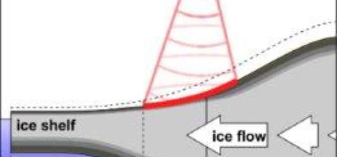
Remote Sensing to Detect Horizontal Motion of Glacier Grounding Lines
In a recent research by the UK Centre for Polar Observation and Modelling (CPOM) at the University of Leeds has produced the first complete map of how the ice sheet’s

4th Farming by Satellite Prize Competition is Open!
Registration for the 4th Farming by Satellite Prize was officially opened at the conference “Agriculture: a new frontier for the European space policy” in the European Parliament on March 6.
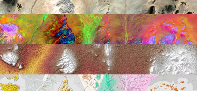
Sentinel-1 and Sentinel-2 Missions Helping to Map Minerals in Africa
The traditional way of geological mapping is to record the location of rock outcrops, rock and fossil samples and structures observed in the field. The detailed description and sketches of

Greece Launches Its Own Space Agency – Hellenic Space Organization
According to recent news reported by the Neoskosmos.com, Almost a year and a half since the first announcement of its creation, the Hellenic Space Agency was officially launched on March 19, by Minister
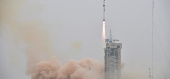
China Launched the Fourth in a Series Land Survey Satellite
According to recent news by Spaceflight Now, China has returned to action on March 17, 2018, with a Long March 2D rocket blasting off from Jiuquan, marking the country’s eighth space launch

China Plans to Launch 60 High-resolution Video Satellites by 2020
China plans to launch 60 high-resolution Jilin-1 video satellites by 2020, the satellite developer said. The high-resolution optical remote sensing satellites were independently developed by Chang Guang Satellite Technology Co. Ltd.
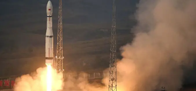
China Launches 2 Remote Sensing Satellites
JIUQUAN, 19 January (BelTA – Xinhua) – China launched two high-resolution optical remote sensing satellites into a preset orbit from the Jiuquan Satellite Launch Center in northwest China. The two
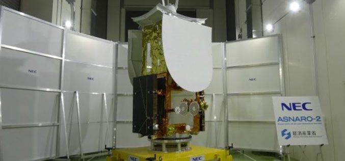
Japan Successfully Launches Small Radar Imaging Satellite “ASNARO-2”
January 18, 2017, JAXA – JAXA successfully launched Epsilon-3, the third Epsilon launch vehicle which encapsulates NEC Small radar satellite “ASNARO-2”, from the JAXA Uchinoura Space Center. The launch occurred on
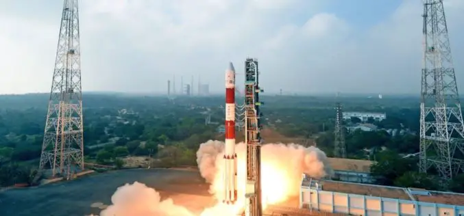
ISRO Successfully Launches Cartosat-2 Series Remote Sensing Satellite Along with 30 Co-passenger Satellites in a Single Flight
January 12, 2018 – ISRO – ISRO’s Polar Satellite Launch Vehicle, in its forty second flight, successfully launched the 710 kg Cartosat-2 Series Remote Sensing Satellite along with 30 co-passenger satellites
