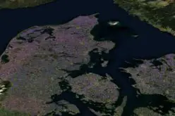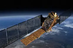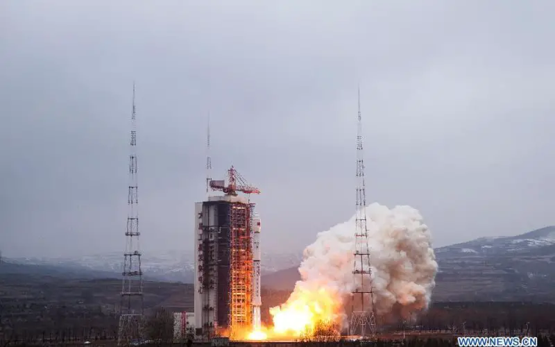
China on Sunday successfully launched its latest remote sensing satellite to be used for experiments, land surveys, crop yield estimates and disaster relief. The satellite named Yaogan-28 was carried by a Long March-4B rocket after it was launched from Taiyuan in the country’s northern Shanxi Province.

This is the 217th mission for the Long March rocket family. China launched the first “Yaogan” series satellite, Yaogan-1, in 2006.
The satellite will be used for experiments, land surveys, crop yield estimates and disaster relief, state-run Xinhua news agency reported.
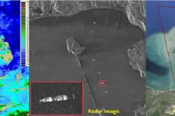
However, western analysts believe the series of satellites are of a military nature, using electronic intelligence, electro-optical and synthetic aperture radar sensing equipment.
hina launched the first “Yaogan” series satellite, Yaogan-1, in 2006.
PTI