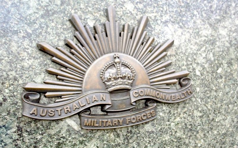
 A regional geospatial defence expert has urged the Australian Defence Force (ADF) to exploit the capabilities of Geographic Information System (GIS) technology to deliver greater operational and battlefield advantages to the nation’s forces.
With Australian troops recommitted to coalition actions in Iraq and Afghanistan, Esri Australia National Security industry specialist David Eastman said it was vital the nation’s forces were “fighting off the same map”.
The call follows Defence CIO Peter Lawrence’s address to the Military Communications and Information System (MilCIS) Conference in Canberra on Tuesday, where he acknowledged the ADF must realise greater value from its vast bank of data.
Addressing leading defence specialists at MilCIS today, Mr Eastman said GIS technology could significantly improve the way ADF leveraged its existing data.
“Today’s advanced GIS technology goes far beyond displaying a map background in a defence application,” Mr Eastman said.
“When making decisions, being able to answer the ‘where’ component is vital – and increasingly, knowing the ‘why’, ‘what’ and ‘where will’ of any scenario is absolutely critical.
GIS provides the common platform to answer these interconnected questions, by quickly bringing together a wide array of data sources to allow for comprehensive analysis.
“Additionally, the technology facilitates the integration and exchange of information within and across defence environments, and has the capability to extend information sharing to partners, agencies and allies.
“These capabilities ensure our forces have a critical operational and tactical advantage by instantly providing the most up-to-date view of a situation.”
Mr Eastman said globally, military organisations had adopted similar geospatial intelligence (GEOINT) platforms to significantly improve their data collection, analysis and dissemination.
“For example, the US Army recently implemented a multiple-intelligence (Multi-int) integration system leveraging GIS technology,” he said.
“This system provides the US Army – and their allies – with access to continuous, real-time, on-demand intelligence – allowing for mission objective changes to be made in hours, minutes or even seconds.
“In the past, an intelligence analyst has worked with copies of data stored on a local drive, conducted analysis in an isolated environment, exported a final product to PDF or JPG, and emailed or delivered a printed hardcopy map.
“With the rapid rate of data generation and intelligence gathering today, this product becomes out of date almost as soon as it is completed.
“The GIS platform enables analysts to perform the same complex scrutiny, but now the data management, collection, examination and dissemination processes are seamlessly integrated in real-time.
“Strategic and tactical resources rely on this information, and accessing instantly updated material from a ‘single point of truth’ provides these groups with a significant frontline advantage.”
The MilCIS 2014 conference is running at the National Convention Centre in Canberra and ends today.
Source: Esri Australia