Land Viewer: On-the-Fly Earth Observation Imagery Analytics in Your Browser
Data Scientists, GIS Engineers and Software Developers from California-based company EOS have recently launched the most advanced cloud based tool to allow users, journalists, researchers, and students easily search and analyze huge amounts of the most recent earth observation data.
Land Viewer is on-the-fly, real-time imagery processing and analytics service, which provides:
- instant access to petabytes of newest and archive data available,
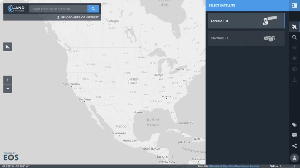
- ability to find required geospatial images of any scale in 2 clicks by selecting the required territory on the map or by location name.
- on-the-fly imagery analytics abilities and download required image for own business purposes.
Using the EOS solution, users are able to do multipurpose research, find, and employ any Earth Observation images ever available from Sentinel-2 and Landsat – 8 satellites in one place and in many times faster. The service is free of charge, simple in use and can be accessed from any browser or device.
With Land Viewer users are able to explore satellite imagery, from Sentinel 2 and Landsat 8 satellites stored on Amazon Cloud platform, apply search filter by date of image acquisition, cloudiness or sun elevation, analyze, download and share with others.
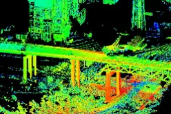
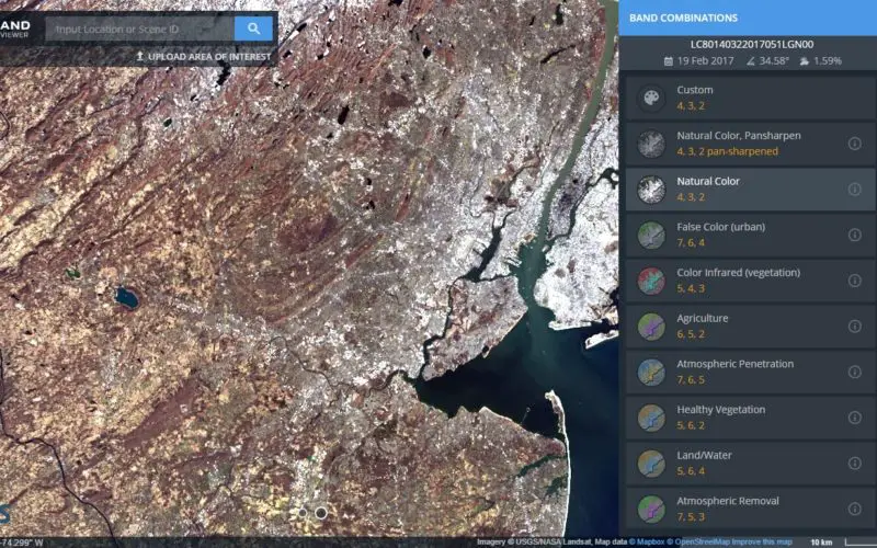
Using tiling technology, Land Viewer can render scene from the archive data in any zoom in less than 10 seconds. Images can be viewed in different band combinations or in on-the-fly calculated spectral index such as NDVI to get the most suitable for user’s purpose information. To make this possible, EOS experts created a technology that transforms on the fly the raw satellite imagery data stored in 16-bit GeoTIFF format into tiles which user can immediately see on the screen in web browser. There is no need to create and store additional preview screens or tones of data in archive, as image can be shown immediately in the browser from raw data.
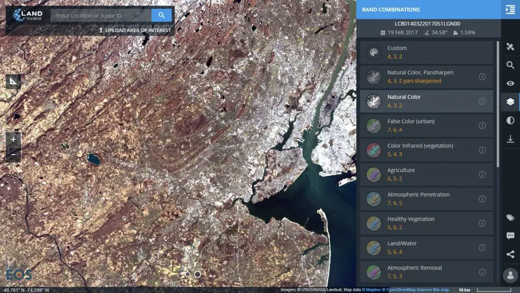
The user can straight away apply different pre installed and custom spectral band combinations to highlight and visualize any data type on the image. To illustrate, forest fires are easier to see it in the infrared. There are various bands available for vegetation studies, agricultural land, ice cover, rivers, lakes, and oceans analysis. Users can review in details all the objects located in the scene which can be explored in regards with fires, floods, illegal logging or water resources management. Moreover, there is an ability to chronologically compare geospatial imagery of 2014, 2015, 2016 or 2017 and see the changes in the dynamics in developments, riverbed, forest and others.
In February, 2017 Earth Scientists from Israel used Land Viewer to facilitate their research on extraction of satellite derived bathymetry for 100m grid of the seas around the Arabian Peninsula. At the same time, GIS experts managed to work with the best imagery (no waves, clean atmosphere, good visualization of real bathymetry etc.) available in Land Viewer in the shallow bathymetry analysis.
“By 2017, EOS will be listening to the social and commercial pulse of mankind on the planet”, highlights founder and CEO of EOS, Max Polyakov. Indeed, the company’s arsenal is represented by the powerful set of remote sensing image processing technologies, while EOS warehouse aggregates data from variety of sources: satellites, aerial, UAV. From now users can get access to innovative cloud-based imagery analytics technologies, neural networks-based methods, point cloud – photogrammetry, change detection, imagery tiling and mosaicking.
Try Land Viewer right away or contact the team for more details: info@eosda.com!