Measuring Landscape Disturbance of Gas Exploration in Nine Pennsylvania Counties
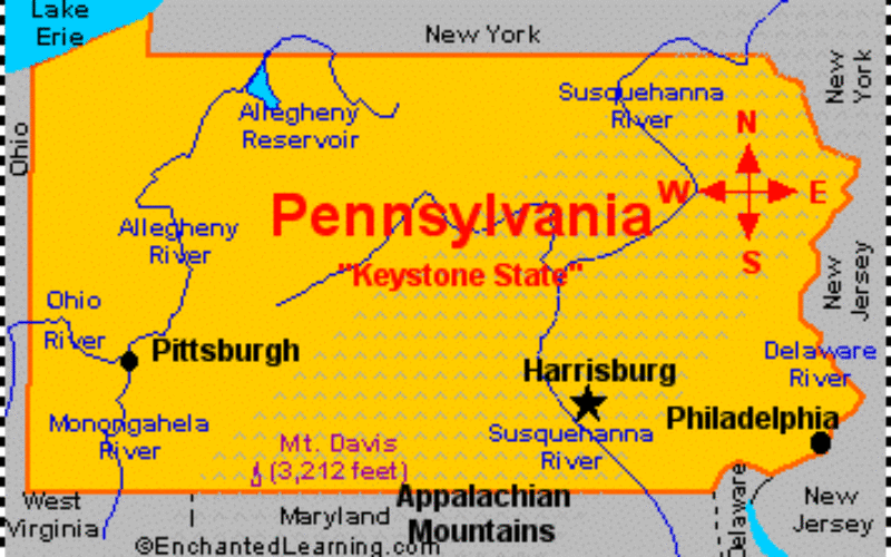
 Landscape change in Pennsylvania’s Bedford, Blair, Cambria, Centre, Clearfield, Clinton, Columbia, Huntingdon, and Luzerne counties resulting from construction of well pads, new roads and pipelines for natural gas and coalbed methane development is being documented to help determine the potential consequences for ecosystems and wildlife, according to a new U.S. Geological Survey report.
Using geospatial data and high resolution aerial imagery from 2004-2010, USGS researchers documented spatially explicit patterns of disturbance, or land use, related to natural gas resource development, such as hydraulic fracturing, particularly disturbance patterns related to well pads, roads and pipeline construction.
Spatially explicit data on the level of landscape disturbance — which is geographic information systems data, mapped to a high degree of spatial accuracy — is critically important to the long-term study of the potential impacts of natural gas development on human and ecological health.
Through programs such as the National Land Cover Database, and Land Cover Trends, USGS has a long record of studying the consequences of land-use and land-cover changes. The current level of natural gas development in much of the country, and its effects on the landscape, is an important contemporary land-use/land-cover issue.
“Landscape disturbance effects have consequences for the ecosystems, wildlife, and human populations that are collocated with natural gas extraction activities. This study examines the landscape consequences of gas extraction for nine counties in Pennsylvania. This is report 10 of 11 that will document landscape disturbance in the Marcellus Shale Region” said Terry Slonecker lead author of the study.
Data from this report will be used to assess the effects of disturbance and land-cover change on wildlife, water quality, invasive species and socioeconomic impacts, among other investigations.
Landscape changes by county
| County | Number of Gas Extraction Sites | Hectares (acres) Disturbance | Kilometers (miles) of New Roads | Kilometers (miles) of New Pipelines |
| Bedford | 13 | 90.1 (222.64) | 1.7 (1.05) | 27.5 (15.96) |
| Blair | 3 | 11.3 (27.92) | 0.4 (0.02) | 0 |
| Cambria | 114 | 92.1 (227.58) | 32 (19.88) | 1.9 (1.18) |
| Centre | 136 | 140.2 (346.44) | 29.9 (18.57) | 11.3 (7.02) |
| Clearfield | 781 | 497.6 (1229.59) | 84.7 (52.63) | 7.7 (4.78) |
| Clinton | 117 | 99 (244.63) | 22.4 (13.91) | 1.9 (1.18) |
| Columbia | 2 | 4.3 (10.62) | 0 | 0 |
| Huntingdon | 4 | 3.9 (9.63) | 0.6 (0.37) | 0 |
| Luzerne | 1 | 4.6 (11.36) | 0.3 (0.18) | 0 |
Research on the landscape changes in these counties indicates that natural gas development from 2004–2010 found that 1,171 sites were developed across all nine counties ranging from 781 sites in Clearfield County to one site in Luzerne County. New development was concentrated in Cambria, Centre, Clearfield and Clinton counties.
Of the 1,171 sites, 79 sites were Marcellus shale sites, 969 non-Marcellus sites, and 137 other infrastructure sites. Marcellus sites were concentrated in the Marcellus Interior areas of Centre (18), Clearfield (690), and Clinton (17) counties. Non- Marcellus sites were concentrated in Cambria (105), Centre (99), Clearfield (62), and Clinton (70) counties.
Other infrastructure sites were concentrated in Bedford (11), Cambria (9), Centre (23), Clearfield (9), and Clinton (31) counties. This disturbance is related mostly to non-Marcellus natural gas extraction.
The study, “Landscape Consequences of Natural Gas Extraction in Bedford, Blair, Cambria, Centre, Clearfield, Clinton, Columbia, Huntingdon, and Luzerne Counties, Pennsylvania, 2004–2010” By E.T. Slonecker, L.E. Milheim, C.M. Roig-Silva, and S.G. Winters, Open File Report 2014-1089, is part of the series of reports relating to natural gas landscape disturbance and is available online.
Contact Information:
Terry Slonecker ( Phone: 703-648-4289 ); Hannah Hamilton ( Phone: 703-648-4356 );