Newly released US Topo maps for Wyoming now feature more trails using data provided by the U.S. Forest Service such as the recreational trails in the Bridger-Teton National Forest.
“The USGS has expanded an excellent working relationship with the U.S. Forest Service to include adding their recreational trails to the data being integrated into The National Map and on our US Topo maps,” said Kari Craun, director of the USGS National Geospatial Technical Operations Center. “The value of adding trails in areas like Bridger-Teton is high because of the number of people using the trails. We are very excited about taking this first step toward incorporating U.S. Forest Service trails information on US Topo maps nationwide.”
The U.S. Forest Service has provided boundary and road data for the US Topo map series for the past five years, and is now working on a national dataset of recreational trails.
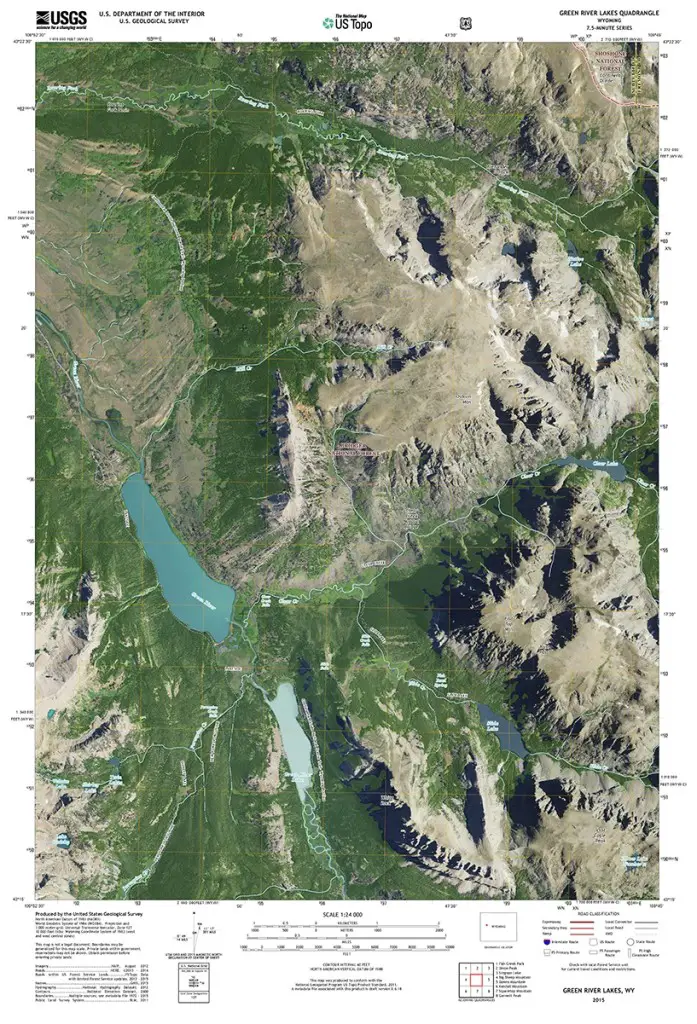
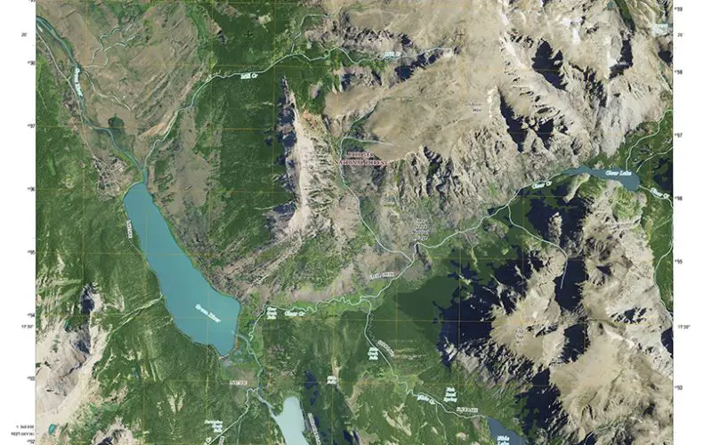
Updated 2015 version of the Green River Lakes quadrangle with orthoimage turned on.
Also, a number of the new Wyoming maps contain segments of the Continental Divide National Scenic Trail (CDNST) and other selected public trails. Further substantial upgrades to the new quadrangles include map symbol redesign, enhanced railroad information and new road source data. Some of the data for the trails is provided to the USGS through a nationwide “crowdsourcing” project managed by the International Mountain Biking Association.
The 3,100-mile long CDNST runs from Canada to Mexico through Montana, Idaho, Wyoming, Colorado, and New Mexico. Crossing the spine of the North American continent numerous times, it traverses some of America’s most spectacular and isolated scenery, offering views unlike any other trail in the world.
In Wyoming, the trail passes through Yellowstone National Park; the Bridger/Teton, Shoshone, and Medicine Bow-Routt National Forests; and public lands managed by the Bureau of Land Management (BLM).
This NST joins the Ice Age National Scenic Trail, the Pacific Northwest National Scenic Trail the North Country National Scenic Trail, the Pacific Crest National Scenic Trail, the Arizona National Scenic Trail, the Appalachian National Scenic Trail, the Natchez Trace National Scenic Trail and the New England National Scenic Trail as being featured on the new US Topo quads. The USGS hopes to eventually include all National Scenic Trails in The National Map products.
Additionally, the new Wyoming US Topo maps will continue the inclusion and improvement of Public Land Survey System data. Wyoming was one of the first states to display this topographic layer several years ago. PLSS is a way of subdividing and describing land in the US. All lands in the public domain are subject to subdivision by this rectangular system of surveys, which is regulated by the U.S. Department of the Interior.
These new maps replace the first edition US Topo maps for Wyoming and are available for free download from The National Map, the USGS Map Locator & Downloader website , or several other USGS applications.
To compare change over time, scans of legacy USGS topo maps, some dating back to the late 1800s, can be downloaded from the USGS Historical Topographic Map Collection
For more information on US Topo maps: http://nationalmap.gov/ustopo/