OGC Seeks Public Comment on a Proposed Work Item for Indexed 3D Scene Layers as a Community Standard Work Item
The Open Geospatial Consortium (OGC®) is considering start of a new work item for a Community Standard: Indexed 3D Scene Layers (I3S). The public is requested to comment on this work item proposal. The Indexed 3D Scene Layers (I3S) delivery format is used to stream 3D geospatial content to mobile, web and desktop clients.
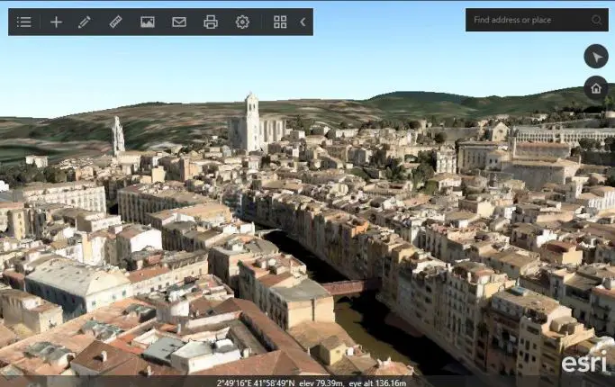
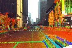
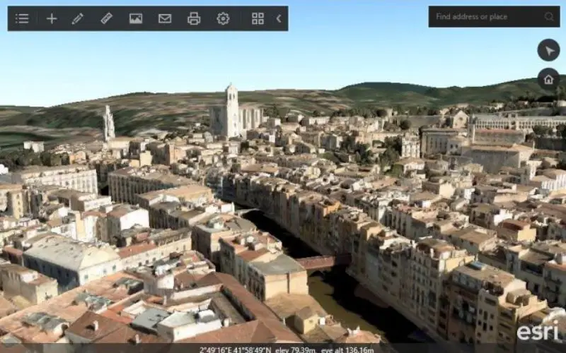
Integrated Mesh of Girona, Spain.
Credit: OGC
I3S, initially designed by Esri, was publicly released in April 2015 as an open specification for streaming large, heterogeneous 3D geospatial data sets, including discrete 3D objects, large continuous meshes, 3D vector points, point clouds, and other content. I3S is designed from the ground up to be cloud, web, and mobile friendly. The I3S conceptual model is implemented using JSON. There is also an I3S Scene Service REST API specification for accessing I3S resources as endpoints. I3S is designed to stream very large 3D datasets and is designed for performance and scalability.
A document has been prepared that provides a justification to the OGC Technical Committee (TC) for consideration of I3S as a Community standard. This justification, along with the submitted candidate Community standard, will form the basis for TC review and vote to approve the start of the Community standard process.
The Justification Document is available at:portal.opengeospatial.org/files/71232. The current I3S specification is available at: github.com/esri/i3s-spec.
Comments can be submitted to requests@opengeospatial.org by 16 December, 2016.
About the OGC
The OGC is an international consortium of more than 525 companies, government agencies, research organizations, and universities participating in a consensus process to develop publicly available geospatial standards. OGC standards support interoperable solutions that “geo-enable” the Web, wireless and location based services, and mainstream IT. OGC standards empower technology developers to make geospatial information and services accessible and useful with any application that needs to be geospatially enabled. Visit the OGC website at www.opengeospatial.org.