PR: Leica Nova MS50 MultiStation Delivers First 3D Scan of the Mont Blanc Ice Cap
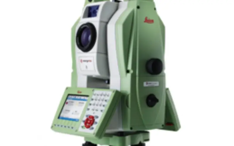
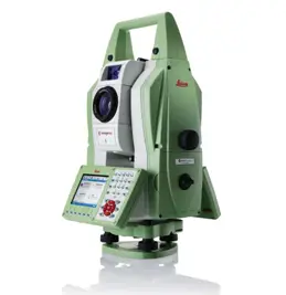 Reaching the top of Mont Blanc, Europe’s highest peak, is a formidable challenge even to the most experienced alpinists – not only because of its elevation, but also because of its weather conditions. Strong winds and snowfall at the summit constantly cause altitude changes to the summit’s ice and snow cap. Such changes motivate expert surveyors to try out the latest in measurement technology, like the Chartered Land Surveyors located in the Upper Savoy region in France as well as two surveyors from Leica Geosystems France. For their seventh expedition, they decided to make the first ever 3D laser scan of the shape and volume of this legendary glacier using the Leica Nova MS50 MultiStation.
Towards the end of 2013, surveyors braved temperatures of -10⁰ C and winds of over 50 km/h, and set up a Leica Viva GS14 GNSS antenna to measure the height and also take roughly 100 point measurements of the ice cap. The Leica MS50 MultiStation scanned the ice cap at an altitude of over 4,800 m under extreme conditions and recorded thousands of points in a matter of minutes.
The 2013 expedition proved that the current elevation of Mont Blanc is 4,810.02 m, which is 42 cm less than in 2011. The actual rock summit has an altitude of 4792 m, however the snow covering the peak may vary the actual summit’s altitude anywhere from 15 to 20 m. Expedition partner Géomédia calculated the volume of the ice cap covering the rocky summit at 20,213 m³ and produced a 3D animation from the scan data as well. In the future, these results will help researchers determine possible changes to the ice cap caused by global warming.
Philippe Borrel, owner of the surveying company Cabinet Borrel and an experienced member of the expedition team said, “Using the Leica Nova MS50 MultiStation to make a 3D model of the biannual Mont Blanc summit expedition was a challenging exercise that resulted in highly accurate data. Collecting data under such extreme conditions quickly and efficiently is extremely important. This time, we were able to reduce time expenditure needed to complete the task. The MultiStation was surprisingly easy to carry in a backpack, considering the rocky terrain, steep slopes and windy ridges we had to climb.”
Click below to watch the short film on this exciting expedition: http://www.leica-geosystems.com/ms50_montblanc_shortfilm
Read the complete story here: http://www.leica-geosystems.com/ms50_montblanc_trustory
Find out more information about the Leica Nova MS50 MultiStation at: http://www.leica-geosystems.com/nova_ms50