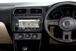
Japan has recently launched a rocket carrying a satellite with a local version of the US global positioning system (GPS) (Quasi-Zenith Satellite System) on Thursday (June 1, 2017), which is expected to increase the precision of location information used in smartphones and car navigation system.
Japan launched an H-2A rocket which carries the satellite called “Michibiki No.2” from a space center in Tanegashima, southern Japan, Reuters added.
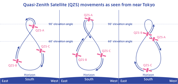
The nation launched the first Michibiki satellite into space in 2010 on a trial basis and it plans to send two more satellites later this year, according to the Cabinet Office, Reuters indicated. Once the four satellites are in orbit, at least one satellite will be flying over Japan for eight hours per day, Reuters added.
Combining with the U.S. GPS and the Japanese system will enhance the stability of receiving radio waves and increase the precision of position information reduced to only several centimeters (a few inches) rather than an error of about 10 meters (about 33 feet) by U.S. GPS.
The government is predicting that the second satellite aimed at establishing Japan’s version of the Global Positioning System could generate markets of more than ¥2 trillion across a wide range of fields, such as engineering, construction, surveying and farming.
Source: WION