Remote Sensing Technology Reveals that Mount Everest Glaciers Has Shrunk 28% in 40 years
BEIJING: Glaciers on Mount Everest, a source of major Asian rivers like the Brahmaputra, have shrunk by 28 percent over the past 40 years due to climate change, according to a report.
The glacial shrinkage area is compared to the measurements taken in the 1970s in the report released by the Chinese Academy of Sciences (CAS), Hunan University of Science and Technology, and Mount Qomolangma Snow Leopard Conservation Centre.
The glacier area on the south slope of the world’s highest mountain, in Nepal, has decreased 26 percent since the 1980s, the report said.
Part of the report, which was released yesterday, also said Mt Everest, known as Mount Qomolangma in Tibet, has been getting warmer for the past 50 years.
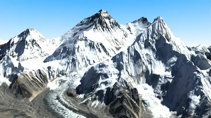
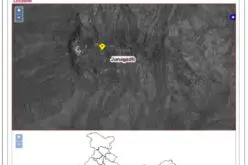
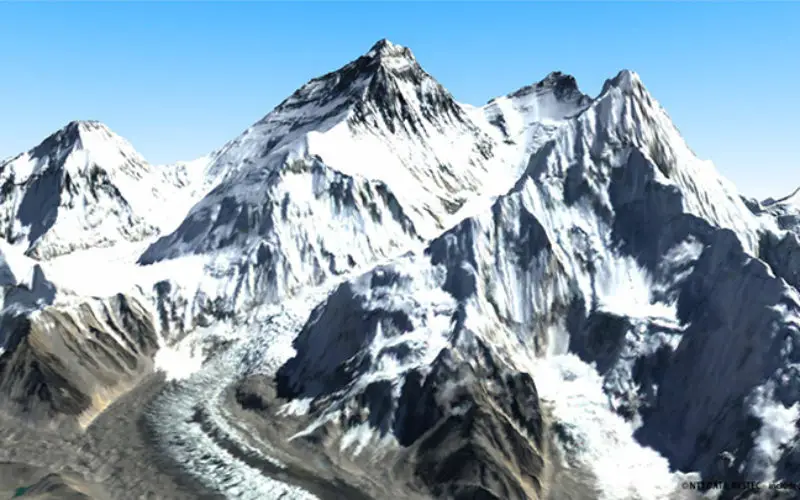
Mount Everest)
Image Courtesy: NTT DATA
Kang Shichang, a researcher with the State Key Laboratory of Cryospheric Sciences under the CAS, said the data was based on long-term remote sensing and on-site monitoring.
At present, there are 1,476 glaciers in China’s Mt Qomolangma national nature reserve, covering 2,030 square kilometres, state-run Xinhua news agency reported.
The shrinking glaciers have resulted in swelling glacial lakes and higher river levels downstream, Kang, who has led several glacier inspection teams said.
Remote sensing data showed that the area of a glacial lake in Mt Everest nature reserve increased from about 100 square kilometres in 1990 to 114 square kilometres in 2013, Kang said.
Mt Everest is the source of a number of major Asian rivers including Brahmaputra and Ganges.
Earlier in May, a group of international researchers had warned that the estimated 5,500 glaciers in the Hindu Kush- Himalayan (HKH) region – site of many of the world’s tallest peaks including Mount Everest – could reduce their volume by 70-99 percent by 2100, with dire consequences for farming and hydropower generation downstream.
– PTI