Tag "DARPA"
DARPA Seeks to Harness Commercially Available Geospatial Imagery for Defense Analysis
According to recent news published on DARPA.mil, DARPA’s new Geospatial Cloud Analytics (GCA) program seeks to enable instant access to the most up-to-date images anywhere in the world, as well as
OmniEarth Applies Machine Learning to Multiple Satellite Sources for Improved Soil Moisture Mapping
The US Defense Advanced Research Projects Agency (DARPA) has awarded OmniEarth a Small Business Innovation Research (SBIR) Phase I contract to develop a precision soil moisture mapping model in support
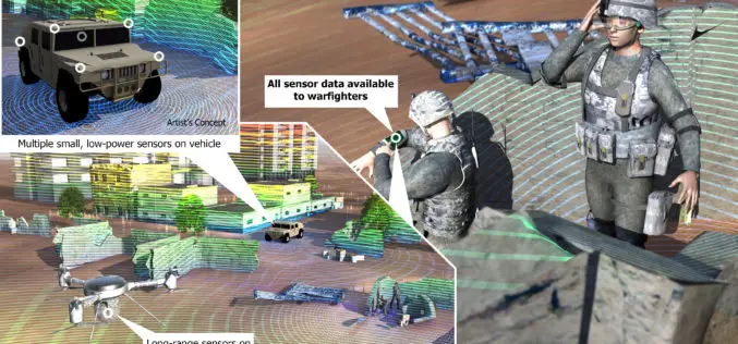
DARPA to Develop Ultracompact LIDAR Systems
Defence Advanced Research Projects Agency (DARPA) lighter and cheaper technology to replace a large, heavy and expensive light detection and ranging (LIDAR) systems. The primary goal of the newly-announced Modular Optical Aperture Building
DARPA Develop Technology to Integrate LiDAR on Microchips
DARPA, American defence research agency has developed a LiDAR system small enough to be integrated on a microchip yet offering better performance than conventional bulky mechanical devices. DARPA’s Short-range Wide-field-of-view Extremely agile


