
Tag "DGPS"

Enjoying the High-Accuracy Positioning with the Latest SuperPad 10
The first stable version of SuperPad 10 has been released for over one and a half months. In the first release, SuperPad 10 not only already equips with numerous practical

Geotagging of Pipelines for Effective Water Supply Management
Hyderabad-India: According to recent news by The New Indian Express, the Hyderabad Metro Water Supply and Sewerage Board (HMWS&SB) has drawn plans to prepare a reliable and accurate GIS map
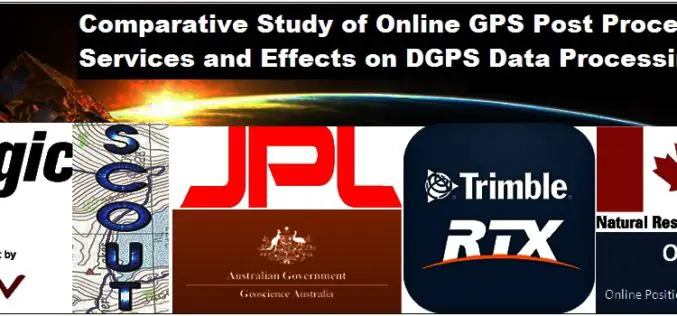
Comparative Study of Online GPS Post Processing Services and Effects on DGPS Data Processing
Comparative Study of Online GPS Post Processing Services and Effects on DGPS Data Processing – Manas Kumar Jha, Saurabh Singh, Nisha Upadhyay, Nishant Khare Increasing dependency on Differential Global Positioning
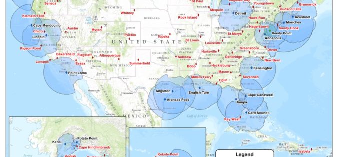
USCG Invites Public Comments on Nationwide Differential Global Positioning System (NDGPS)
In a notice by the United States Coast Guard, the Transportation Department, and the Engineers Corps dated 08/18/2015, public comments are requested on Nationwide Differential Global Positioning System (NDGPS). The Coast Guard (USCG)
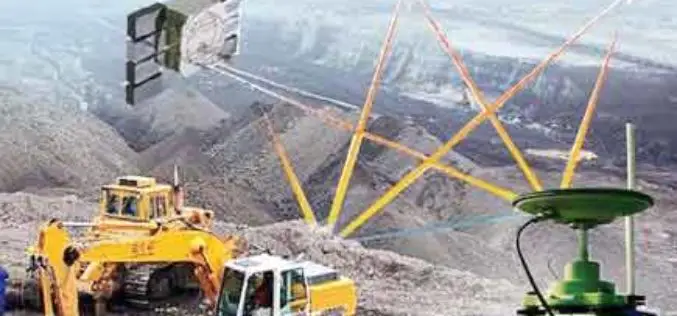
Central Government Insist For DGPS Survey before the Lease of Mines
As reported in Business Standard, the Union Mines Ministry, Government of India has instated on Differential Global Positioning System (DGPS) survey of Kutrumali and Sijimali bauxite deposits before grant of mining lease to
PR: Topcon TopNETlive fastest growing GNSS network service in North America
LIVERMORE, Calif., USA/ CAPELLE A/D IJSSEL, The Netherlands – March 5, 2014 – Topcon Positioning Group announces the expansion of its TopNETlive network service into nineteen states and five Canadian provinces, making
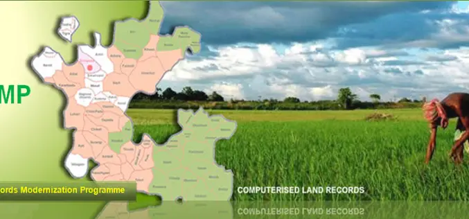
National Land Records Modernization Programme (NLRMP): A Government of India Flagship
Raja Todarmal had introduced land revenue, land survey and settlement system in India during the regime of great Mughal emperor Akbar. On the basis of land survey Raja Todarmal prepared the maps
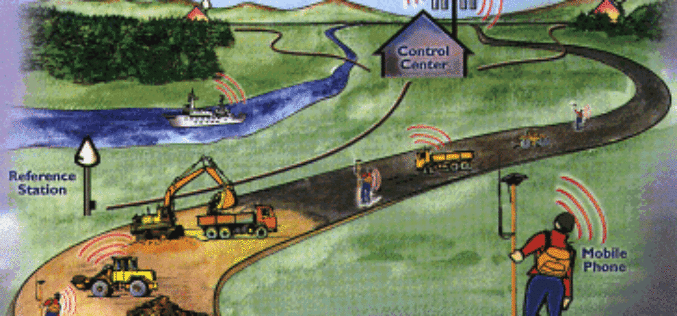
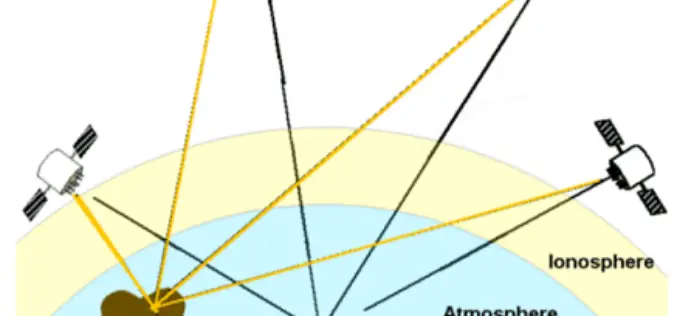
What is Virtual Reference Station?
A virtual reference station is an imaginary, unoccupied reference station which is only a few meters from the RTK user. For this position, observation data are created from the data

South Korea to Have More Accurate GPS Navigation System
Soon the people in South Korea have more accurate GPS navigation systems in their car or vehicles. South Korea has developed a technology to allow the use of an advanced
GPS Surveying Techniques
There are wide variety of GPS applications, which is matched by a similar diversity of user equipment and techniques. Nevertheless, the most fundamental classification system for GPS technique is
