
Tag "earth imaging"
Business
Earth Imaging Gets a Close-Up
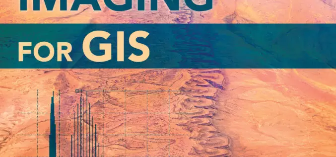
New Esri Book Covers Basics of Collecting, Enhancing, and Interpreting Aerial Images within a GIS Satellites, aircraft, and unmanned aerial systems (UAS) collect imagery that can be displayed and analyzed

GIS
Nominations Open for the Prestigious Carl Pulfrich Award 2015
Heerbrugg, Switzerland, 26 May 2015 – Hexagon Geosystems is pleased to continue the tradition of promoting outstanding scientific, application-oriented design and/or manufacturing activities in the field of photogrammetry, remote sensing
