
Tag "geospatial data"

Onlinemaps Portal, SARTHI, and MANCHITRAN – Launch of 3 Online Applications to Purchase Geospatial Data Collected by Govt. Organizations
The Govt. of India in Feb 2021 announced the liberation of the Geospatial Policy of India. It has announced a new Geospatial policy to unlock new avenues for business, private

Euclideon Plans World’s Largest Geospatial Data Platform on Microsoft Azure, Accelerates Innovation Opportunity
Cloud based service visualises a petabyte of data per second Leading 3D data specialist Euclideon has signed a strategic partnership with Microsoft and unveiled plans to build the world’s largest geospatial data
Aspectum and Planet Enter into a Partnership to Offer Powerful Analytics Paired With Robust Satellite Imagery
New partnership that allows Aspectum users to access Planets high-resolution satellite imagery and rich geospatial data Aspectum and Planet have announced the formation of a strategic partnership to offer businesses

Towards a Geospatial Information Society
Anyone who is reading this technical journal would be aware of the terms ‘data’, ‘geospatial data’, ‘information’ and ‘geospatial information’ and the context in which the terms are being used.

OnPOZ Collect and Cloud Mappings Apps for Geospatial Data Collection
OnPOZ Collect is a powerful GIS mapping app that transforms a phone or tablet into a geospatial data collection tool.
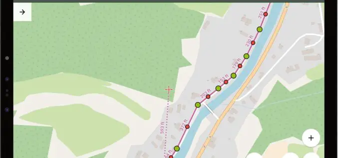
Locus GIS to Collect Geospatial Data with a Comfort of Your Mobile Phone, Even Without the Need of Internet
The collection of geospatial data in the field has always been a weary task. Here is good news for all the professionals and enthusiasts in the field of geospatial

Unmanned Aerial Vehicles (UAVs) Have Arrived as A Reliable Geospatial Technology
The large scale adoption of Unmanned Aerial Vehicles in the last decade for Geospatial Data capture has brought about a radical change in the accuracy, speed and timeliness
Spottitt Launches Cloud-Based Geospatial Data Analysis on DNV GL’s Veracity Platform
Online Imagery Portal with Analytics HARWELL, United Kingdom, 9 October 2018 – Spottitt Ltd. has launched a cloud-based workspace that puts massive satellite imagery sources and advanced analysis capabilities at
ICAROS Uses TatukGIS SDK to Develop Integrated Aerial Geospatial Data Viewer
Aerial geospatial solutions provider, Icaros, Inc., selected the TatukGIS Developer Kernel (DK) to develop the next generation geospatial data viewer component of its OneButton™ software product, which is used to
Esri Supports the Geospatial Data Act
Legislation Provides Significant Step toward National Collaboration among the GIS Community November 16, 2017 – Redlands, California—Esri, the global leader in spatial analytics, today applauded Congress in introducing the Geospatial Data
