
Tag "geospatial data"
Introducing Trimble Clarity – A Cloud-based Geospatial Data Viewer and Collaboration Product
Introducing Trimble Clarity – A Cloud-based Geospatial Data Viewer and Collaboration Product September 27, 2017 Join us live from the Intergeo Geospatial Conference in Berlin, Germany as we present Trimble
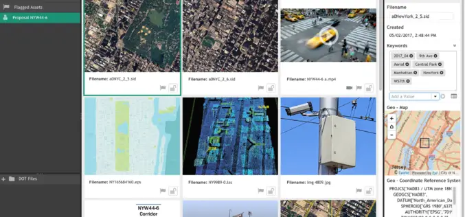
LizardTech and Extensis Optimize Digital Asset Management for Geospatial Data
LizardTech and Extensis Optimize Digital Asset Management for Geospatial Data Latest Version of Extensis Portfolio Extends DAM to Geospatial Industry; Solution Indexes, Catalogs, Shares MrSID Files Portland, Ore.— July 19, 2017 — LizardTech®

Merrick Releases MARS® 2017 Software Suite
Merrick & Company, a global leader in light detection and ranging (LiDAR), digital orthophotography, hyperspectral imaging, and geographic information systems (GIS) data integration, is pleased to announce the release of
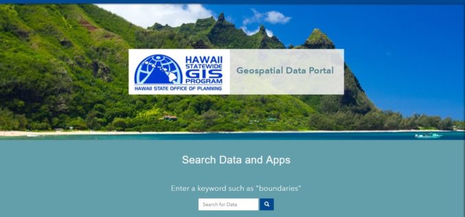
Hawaii Launches Geospatial Data Portal
According to recent news, the state Office of Planning’s Hawaii Statewide Geographic Information System (GIS) Program launched a new Geospatial Data Portal, which provides streamlined access to hundreds of data
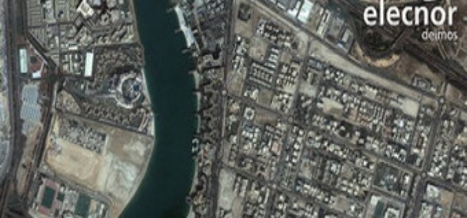
Ordnance Survey International Helps the UAE Manage Climate Change
Ordnance Survey International and Deimos Space UK are to work with the Mohammed bin Rashid Space Centre in Dubai to help the United Arab Emirates (UAE) improve how it plans and
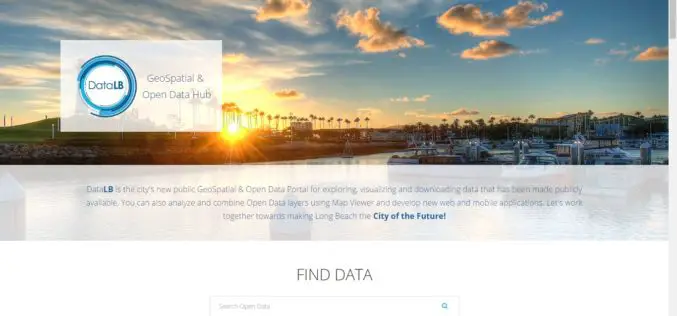
City of Long Beach Launched GeoSpatial & Open Data Portal
Long Beach One of First Cities in U.S. to Display Open Data in Geospatial Data Format The City of Long Beach launched DataLB, the City’s new Open Data Portal on
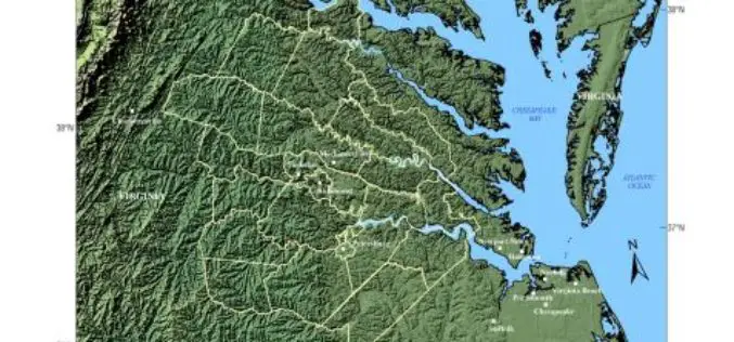
USGS -Building Unified Geospatial Data for Land-Change Modeling—A Case Study in the Area of Richmond, Virginia
Building Unified Geospatial Data for Land-Change Modeling—A Case Study in the Area of Richmond, Virginia Abstract – An effort to build a unified collection of geospatial data for use in
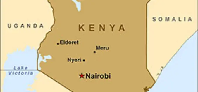
Kenya to Have its First Geospatial Data Centre
According to recent news by IT Web Africa, Kenya could have its its first geospatial data centre by June next year, proposes to cost of Kshs 800 million (US$8m), to
Earth on AWS: Large Geospatial Datasets Available on the Amazon Web Services
Amazon Web Services (AWS) had launched the Landsat on AWS in the year of 2015, a Public Dataset made up of imagery from the Landsat 8 satellite. On September 16, 2016 (AWS Blog),

South Korea and Tunisia Sign MoC in the Field of Geospatial Data
As recently reported by ZAWYA (Thomson Reuters), South Korea and Tunisia has inked a memorandum of technical co-operation in the fields of geospatial data and land management in the event
