
Tag "Greenland ice sheet"
Remote Sensing
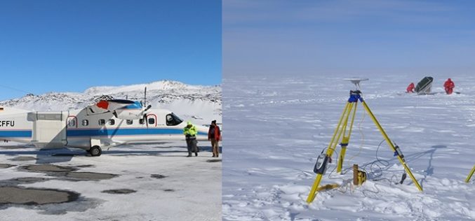
Airborne Radar Scanning of Glaciers for Climate Change Modeling
Greenland’s ice sheet is the second largest mass of ice on Earth, containing enough water to raise ocean levels by about 20 feet. The ice sheet has been losing mass
Remote Sensing
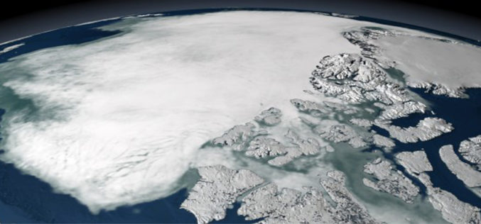
Satellite Data Not Enough To Predict Melting Ice Caps
New research from a team of European scientists has found there is not enough satellite data to determine the rate of polar ice cap melt very far into the future and
