
Tag "Image Processing"
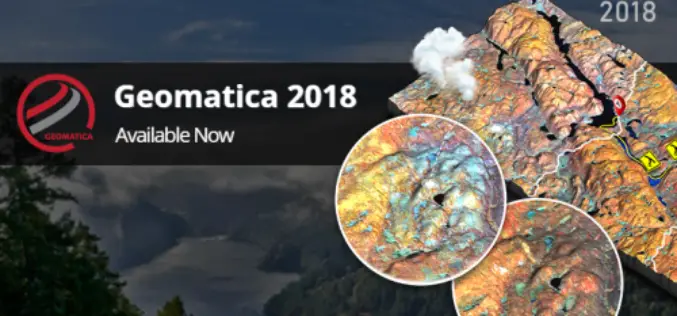
PCI Geomatics Releases Geomatica and GXL 2018
MARKHAM, Ontario, Canada, October 1, 2018 — PCI Geomatics announced today the release of Geomatica 2018, the company’s flagship software for complete and integrated desktop and enterprise geoimage processing. Geomatica

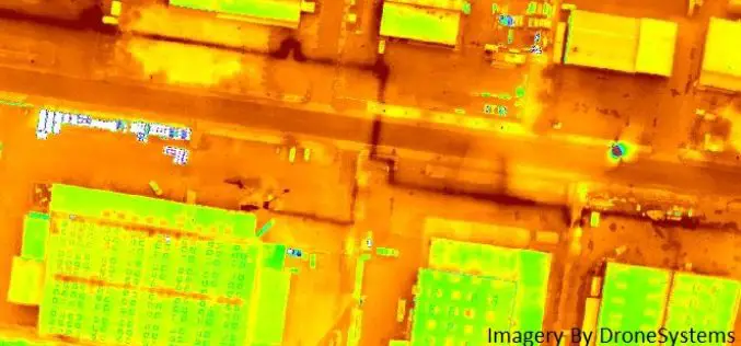
Terra Drone Dedicated Image Processing Software Terra Mapper Begins Sales of Its Cloud Version and Desktop Version at the Same Time
Terra Drone dedicated image processing software “Terra Mapper” begins sales!! ~Cloud version and desktop version release at the same time~ Terra Drone Co., Ltd. (Head Office: Shibuya-ku, Tokyo, CEO: Tokushige
Icaros and TeAx Announce an Integrated Drone Mapping Solution for Radiometric ThermalCapture (FLIR core) Sensors
FAIRFAX, Virginia, USA / WILNSDORF, Germany, 26 July 2017 – Icaros Inc., a leading provider of aerial imaging software, is pleased to announce that version 5.1 of OneButton™ Standard and Professional
Icaros Releases Version 5.0 of OneButton™ Drone Image Processing Software
Icaros Releases Version 5.0 of OneButton™ Drone Image Processing Software Free 30-Day Trial FAIRFAX, Virginia, USA, 15 May 2017 – Icaros Inc., a leading provider of aerial imaging software, is pleased

PCI Geomatics Marks Milestone in Cloud-Based Image Processing
MARKHAM, Ontario, Canada, January 17, 2017 — PCI Geomatics, a world-leading developer of remote sensing and photogrammetric software and systems, announced today that it is six years since it began
Esri Fosters Industry Innovation with Unique Startup Program
Initiative enables top startups to incorporate location analytics into their products and develop breakthrough solutions June 30, 2016-Redlands, California—Esri, the world’s leading mapping platform company,continues to foster industry innovation and
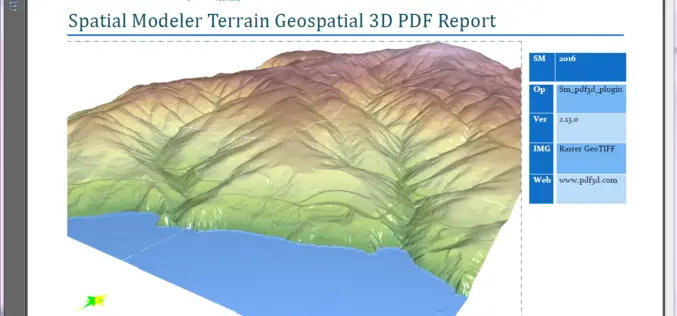
PDF3D Releases 3D Geospatial PDF Plugin for ERDAS IMAGINE at HxGN Live
PDF3D Plugin Released to Create High Quality Geospatial 3D PDF Documents from within ERDAS IMAGINE Spatial Modeler 2016. Anaheim California, June 13th, 2016 – Technological leaders, PDF3D, have today announced
Sentinel Imagery Now Works Inside ArcGIS
Redlands, California—Esri enhanced its ArcGIS technology to simplify the use of free global imagery from the Sentinel-2 satellite launched by the European Space Agency. ArcGIS supports visualization, interpretation, and analysis
Hera Systems Unveils Groundbreaking $1 Pricing for Satellite Imagery
Simple Pricing Ranges from $1-$3 for Archived and Freshly Tasked High-Resolution Imagery SAN JOSE, Calif. – Hera Systems has unveiled the industry’s most aggressive, simplest pricing for high-resolution satellite imagery
PCI Geomatics to Hold User Group Meeting in Ottawa, Canada
PCI Geomatics, a world leading developer of remote sensing and photogrammetric software and systems, will be holding a User Group Meeting in Ottawa, Canada on February 4th, 2016. The free
