
Tag "Leica Geosystems"

Leica Geosystems Partners with Geolantis to Integrate a Cloud Based Utility Mapping Platform
(Heerbrugg, Switzerland; Klagenfurt, Austria, 8 February 2017) – Leica Geosystems, global leader of measurement and digital reality capture technologies, has teamed with Geolantis, a provider and developer of the best-in-class
Leica Geosystems Acquires M&P Survey in the UK
In March 2016, Hexagon Geosystems, business division of Hexagon including Leica Geosystems, acquired M&P Survey Equipment Limited – one of the UK’s leading Leica Geosystems distributors. Since then, Hexagon Geosystems
New Leica iCON Roller Secures Long-lasting Quality, Improves Productivity
Leica Geosystems, industry leader in measurement technology, released today (27 September 2016) its new iCON roller, providing contractors with the solution to achieve constant and effective compaction on any work

Esri and Leica Partner to Offer Grants to Governments
Smart Communities Innovation Challenge Provides Support for Improving Mobile Government Redlands, California—Geographic information system (GIS) provider Esri has partnered with Swiss-based spatial measurement instrument manufacturer Leica Geosystems to encourage innovation

Enhanced Imagery, Modelling, Volumes Improve Productivity With LISTECH Neo
LISTECH, a Hexagon Geosystems brand, today announced increased functionality to its new geospatial software Neo, with terrain modelling, volume calculation and imagery offerings. With an integrated 3D/2D environment for viewing
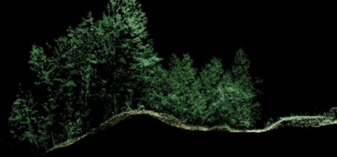
Leica Geosystems Expands LiDAR Capabilities in ALS80 Airborne Sensor
(Heerbrugg,Switzerland/Anaheim, California, USA, 16 June 2016) – Leica Geosystems, global leader of measurement and reality capture technologies, today announced it has expanded functionality of the popular ALS80 airborne sensor that
Leica Geosystems Establishes Georadar Portfolio
(HEERBRUGG, SWITZERLAND, 15 June 2016) – Leica Geosystems, global leader of measurement and reality capture technologies, today announced the establishment of a georadar portfolio with three releases to provide applications
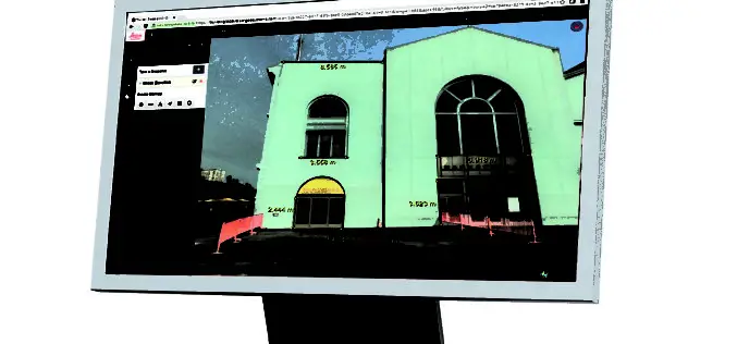
Leica Geosystems Releases New Software Capabilities for Web-Based Collaboration Using Digital Reality Capture Data
Leica Geosystems, global leader of measurement and reality capture technologies, today released TruView Global 2.0. The easy-to-use software integrating point cloud, 3D model and panoramic imagery now supports multiple communities

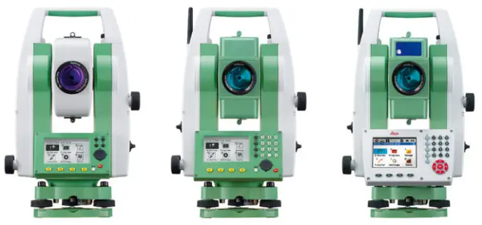
Leica Captivate Experience Continues with Self-learning GNSS, Dynamic Lock for MultiStations
Leica Geosystems, industry leader of measurement technology, has announced the Leica Viva GS16 and updated Leica Captivate and SmartWorx Viva software. The GS16 is a truly self-learning GNSS receiver, able

Leica Geosystems Smart Antenna Provides Superior Performance
Static, long term projects requiring a high number of sensors now have a new affordable smart antenna. This same device can also enable dynamic monitoring with up to 10 Hz data
