
Tag "Satellite Navigation"

Quantum Technology as Supplementary Navigation Solutions
A quantum technology based Positioning, Navigation and Timing (PNT) system as a backup for when GNSS satellites are not available and is the need to overcome the limitations of satellite based navigation.
Britain Seeks Alternative for Satellite Navigation
With so many advancements in satellite navigation systems, satellite navigation has become fundamental to the functioning of society in the last few decades. Satellite navigation has become more familiar, whether

Galileo Masters Competition Inviting Cutting-Edge Solutions Using Satellite Navigation Data
The Galileo Masters is the global innovation competition that encourages and supports technological advancements, driven by Satellite Navigation data into successful society-oriented applications. The fundamental mission of this competition is

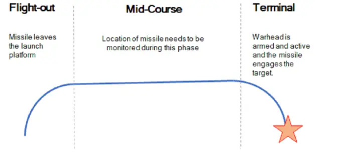
IRNSS 1F Sixth Navigation Satellite Launched Sucessfully
March 10, 2016 – Polar Satellite Launch Vehicle, in its thirty-fourth flight (PSLV-C32), launches IRNSS-1F, the sixth satellite of the Indian Regional Navigational Satellite System (IRNSS). IRNSS-1F was launched into
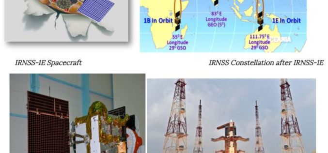
Towards Self Reliance in Satellite Navigation-IRNSS
Indian Regional Navigation Spacecraft System (IRNSS) is the Indian navigation system which envisages establishment of regional navigation system using a combination of GEO and GSO spacecraft. IRNSS system is expected

UK and China to Monitor Bridge Movement Using Satellite
The University of Nottingham (UK) has signed up a MoU with the huge construction conglomerate China Railway Group to develop and commercialise advanced satellite techniques to monitor the structural integrity

EU-Funded Project Enhanced Space Cooperation Between EU and Ukraine
An EU-funded Twinning Project in space cooperation with Ukraine has succeeded in harmonizing Ukrainian legislation to EU standards and supporting Ukraine’s involvement in EU Space Programmes, particularly in Satellite Navigation

China to Set Up 3 Civil Satellite Systems By 2020
BEIJING – China aims to finish building satellite systems for remote sensing, communications and navigation before 2020. The three satellite systems should be able to provide continuous and stable service,

Why Greenwich Meridian Have Longitudinal Shift?
In 1884, the International Meridian Conference recommended that the prime meridian “to be employed as a common zero of longitude and standard of time-reckoning throughout the globe” pass through the
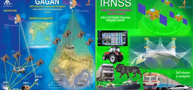
GNSS User Meet – 2015
GNSS User Meet – 2015 Organised by ISRO and AAI October 8, 2015 GNSS User Meet 2015 is jointly hosted by ISRO & AAI on the theme “Towards Self Reliance
