
Tag "Sea Level Anomalies"
Remote Sensing
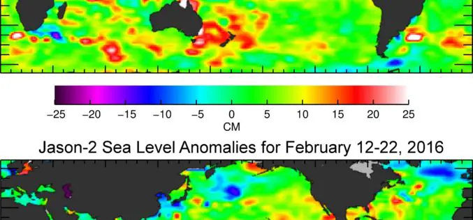
Jason-3 Begins Mapping Oceans
Just over a month after launch, Jason-3, a U.S.-European oceanography satellite mission with NASA participation, has produced its first complete science map of global sea surface height, capturing the current
