UAV-g 2015 International Conference, York University, Toronto, Aug 30-Sep 2, 2015
The UAV-g 2015 International Conference of Unmanned Aerial Vehicles in Geomatics with the theme Small Unmanned Aerial Systems (sUAS): A Disruptive Technology for Geomatics was held at York University, Toronto, Canada from Aug 30 to Sep 2, 2015. It was the third event for the series of the UAV-g Conference and the first in North America. It was attended by about 260 participants from 34 countries including the York University student volunteers. It was hosted by the Lassonde School of Engineering and supported by the CIG and the ISPRS.
The conference included two workshops, three plenary sessions, fourteen technical sessions, one poster session, a two day exhibition and a sUAS technology demonstration day at Markham Airport located about 30 km northeast of York University. The conference covered topics such as UAV photogrammetry, navigation, platforms and sensors, mapping and monitoring, data fusion, natural environments, point cloud generation, DSM and orthoimagery, 3D reconstruction, tracking, sense and avoid, education and regulations and sUAS technologies. The 71 papers of the conference are published on-line as ISPRS Annals and ISPRS Archives publications.
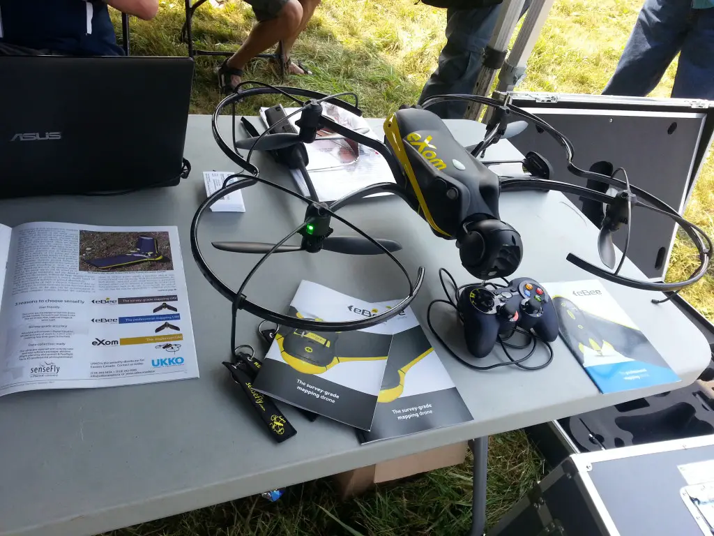
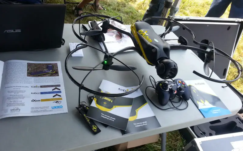
senseFly’s eXom
The intelligent mapping & inspection drone
Prof Dr Janusz Kozinski, Founding Dean of Lassonde School of Engineering, and Prof Dr Sushanta Mitra, Assistant Vice President,. Research and Innovation gave the opening remarks and welcome the delegates to York University. There were three keynote presentations: “Challenges in Unmanned Aircraft Systems: autonomy, sense-detect-and-avoid, and formation control” by Prof Dr Kimon Valavanis, University of Denver; “Flying underwater: some results with an amphibious robot” by Prof Dr Michael Jenkin, York University; and “Applications of unmanned vehicle systems to wildlife research and management in the 21st Century” by Emeritus Prof Dr David Bird, McGill University.
The first workshop was given by Professor Dr Naser El-Sheimy, University of Calgary, was on “Inertial Navigation – The core of direct georeferencing and navigation applications”. The second was the “Pix4D User Workshop” given by Christina Gkintzou. At the closing session, Prof Dr Wolfgang Förstner, University of Bonn, led the panel discussion on Uav-g progress and future directions. Mathieu Boulianne, Spectral Aviation Inc, Canada gave a special presentation on “Regulatory requirements for Canadian air operations”.

Two poster paper awards were given. The best poster paper award went to Robert Fraser, Ian Olthof, Matthew Maloley, Richard Fernandes, Christian Prevost and Jurjen van der Sluijs, Natural Resources Canada, Canada for their paper “UAV photogrammetry for mapping and monitoring of northern permafrost landscapes” and the best poster paper runner-up awards was given to Neda Navidi and René Jr Landry, École de technologie supérieure (ETS), Montreal, Canada, for the paper “A new survey on self-tuning integrated low-cost GPS/INS vehicle navigation system in harsh environment”.
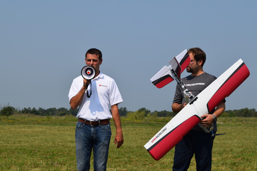
PrecisionHawk Drone
The UAV-g 2015 was sponsored by Applanix (Gold sponsor), Pix4D (Silver sponsor) and AOLS and Specim (Bronze sponsors). Seventeen exhibitors participated in the York University and the Markham Airport exhibition venues. GeoConnexion, GIM International and GIS Resources were the media partners of the conference.
The social events of the conference included the welcome reception and a dinner cruise in the scenic Toronto Harbour, where the dinner participants enjoyed not only the tasty dinner but also the night skyline of the City of Toronto.
During the UAV-g 2015, the CIG Council meeting and CIG AGM were held on Wednesday Sep 2, 2015.
Download Conference Program UAVg – 2015