Utility Crews Tap into High Accuracy GPS with TerraGo Edge
July 28, 2015
12:00-12:30 PM ET
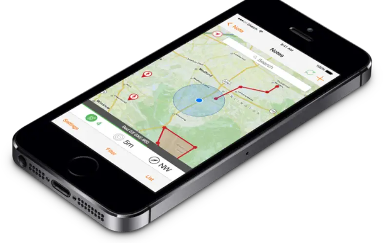
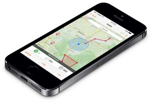 When you’re working with utility infrastructure, accuracy isn’t optional. TerraGo Edge customers can get the sub-meter and centimeter-level accuracy the job requires with a mobile collaboration solution that increases productivity at a fraction of the cost of Trimble and other single-use handhelds.
In this webinar, learn how field crews are utilizing TerraGo Edge for mapping, inspecting and maintaining utility assets. From underground gas lines to fire hydrants and field assets for all types of utilities, TerraGo Edge customers are finding a better way to get the job done from the office to the field, and back.
JOIN WEBINAR NOW
About TerraGo
TerraGo makes software that makes it easy for our customers to collect data, share information and work together anywhere, any time. From sharing feature-rich maps and imagery to deploying on-demand apps for a mobile workforce, TerraGo builds intuitive products that enable collaboration from any place on the planet.
Founded in 2005, TerraGo invented the industry’s most widely adopted geospatial collaboration technology with its innovative GeoPDF products and revolutionized field data collection with its TerraGo Edge mobile platform.