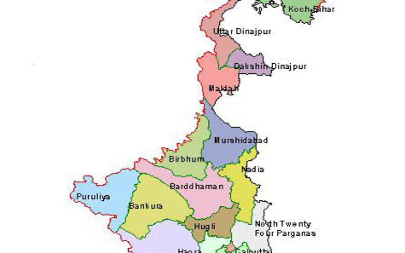
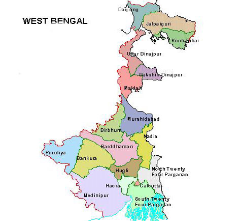
 In recent new, The West Bengal state government planning to setup a new geographic information system (GIS) technology based computer based system to keep track of progress of rural activities in the state. The will keep data of specific geographical locations of around 1000 gram panchayat areas across the state will be stored.
The pilot project is going to start off from Burdwan and scheduled to be implemented in nine districts in the state. The entire project will be rolled out by the end of this year.
“By introducing this system, senior government officials will be able to keep track of how the local rural bodies are participating in developmental activities and attending the panchayat meetings and will also be able to check the progress of works of different rural schemes,” said a senior government official.
The entire data will be updated and uploaded on the GIS server at different stages of the specific projects. Through this, the physical progress of projects could be kept in track in a regular basis. The system will bring in more accountability for all rural activities carried out by the local rural bodies.
Source: Times of India