ISRO: Haze Removal Algorithm Developed for Cartosat Images
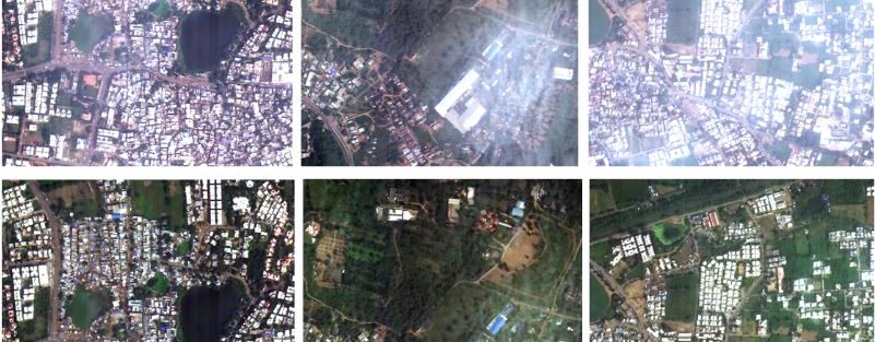
ISRO – High-resolution optical imaging Earth Observation Satellite (EOS) systems such as CARTOSAT provide multi-spectral remote sensing data in the visible and near-infrared (VNIR) wavelengths of the order of sub-meter … Continue reading ISRO: Haze Removal Algorithm Developed for Cartosat Images
Copy and paste this URL into your WordPress site to embed
Copy and paste this code into your site to embed