Hawaii Cropland Data Layer: USDA Introduces 10-Meter Resolution Mapping
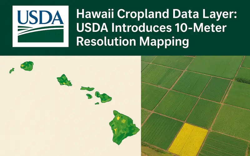
The U.S. Department of Agriculture’s National Agricultural Statistics Service (NASS) has announced a significant update to its widely used Cropland Data Layer, enhancing it with 10-Meter Resolution. This development was shared alongside the weekly crop progress report for the week ending August 31, 2025, marking a major step in agricultural data precision.
Experience and Expertise
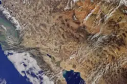
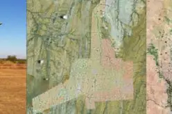
The Cropland Data Layer, created from satellite imagery and validated with field-level survey data, is a trusted source for monitoring agricultural land use. By adopting 10-Meter Resolution, the system now provides sharper, more detailed views of crop patterns and land cover across the U.S. The upgrade is designed to capture subtle field boundaries, improving both farmer decision-making and research analysis.
Authority and Trust
Produced annually by NASS, the Cropland Data Layer has been an essential tool for farmers, researchers, and policymakers for decades. With this resolution enhancement, the USDA reinforces its role as a reliable provider of agricultural intelligence. Rigorous validation protocols ensure that the maps remain consistent with ground-level observations, making them indispensable for farm planning, resource allocation, and sustainability initiatives.
Also Read – How CropSmart Digital Twin is Revolutionizing Precision Agriculture
What the Update Means
- For producers: Better resolution helps identify crop conditions more precisely, supporting smarter planting and harvesting strategies.
- For researchers: Enhanced clarity opens new opportunities for studying spatial-temporal changes in agriculture.
- For policymakers: Detailed land use insights can guide conservation efforts and infrastructure planning.
Alongside the Cropland Data Layer enhancement, NASS is conducting September surveys on small grains and hogs. Final estimates will be released on September 25 and September 30, ensuring the agricultural community has the latest insights heading into harvest.
Why 10-Meter Resolution Matters
Agricultural landscapes are complex, with fields often adjoining natural features, urban spaces, or mixed-use lands. A 10-Meter Resolution provides a clearer distinction between crops and other land types, reducing uncertainty and improving the accuracy of models used for insurance, market forecasting, and environmental planning.
Looking Forward
The USDA’s continued focus on improving data tools reflects a broader commitment to supporting resilience in U.S. agriculture. By strengthening the Cropland Data Layer, farmers, researchers, and policymakers alike gain sharper, actionable insights that can shape the future of sustainable farming.
Source: USDA