
Archive

BSF Strengthens Borders with AI GIS Command Center
India’s Border Security Force (BSF) has taken a major step in modernizing border management by launching an AI GIS Command Center along the Pakistan and Bangladesh frontiers. The new facility

Nigeria Reinforces Space Ties: NASRDA Engages ISRO for Deeper Collaboration
Nigeria’s National Space Research and Development Agency (NASRDA) has deepened its space cooperation with India through a high-level delegation visit to the Indian Space Research Organisation (ISRO) headquarters in Bengaluru.
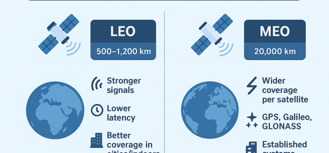
Private GPS Constellation to Boost India’s Navigation Ambitions
A Chennai-based space startup, VyomIC, is set to create India’s first private GPS constellation, a pioneering project that could redefine global positioning, navigation, and timing (PNT) services. Founded by IIT-Madras

NASA ARSET Training on Solar-Induced Fluorescence Monitoring for Vegetation
NASA’s Applied Remote Sensing Training (ARSET) program has announced a new online course focused on solar-induced fluorescence monitoring, designed to enhance understanding of vegetation dynamics under changing environmental conditions. The

Saving Lives Taiwan’s Integrated Disaster Management
Taiwan, highly exposed to natural disasters, has transformed its disaster management through the Taiwan National Federated Research Data Repository. Powered by the datacube engine rasdaman, this platform integrates satellite imagery,
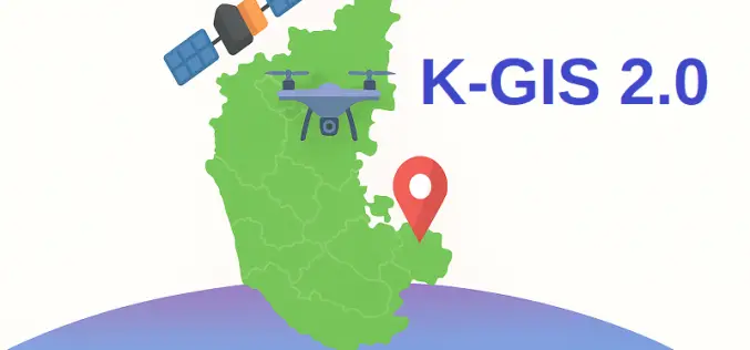
What is K-GIS 2.0 – Karnataka’s Next-Gen Geo-Spatial Database
Karnataka is gearing up to launch K-GIS 2.0, a modernised version of the Karnataka Geographical Information System designed to bring real-time, dynamic, and accessible geo-spatial data across the state. Approved

Safran Launches Skydel AI for Next-Generation GNSS Simulation Automation
Safran Electronics & Defense has expanded its simulation portfolio with the release of Skydel AI, a tool designed to streamline GNSS simulation automation for engineers, integrators, and researchers working on

Oman to Launch AI Satellite in 2026 for Smarter Mapping and Monitoring
Oman Lens has announced plans to launch an AI Satellite in early 2026, marking a leap in the nation’s space technology ambitions. The satellite will combine artificial intelligence with advanced

Esri India and Dhruva Space Partner to Launch Advanced Satellite Imagery Service
Esri India and Dhruva Space have entered into a strategic Memorandum of Understanding (MoU) to transform geospatial intelligence in India by integrating their technologies and leveraging a satellite imagery service
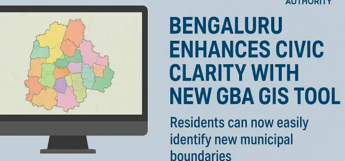
Bengaluru Enhances Civic Clarity with New GBA GIS Tool
In a significant stride toward improving urban governance, the Greater Bengaluru Authority (GBA) has unveiled a powerful GBA GIS tool to help residents easily identify the new municipal boundaries following
