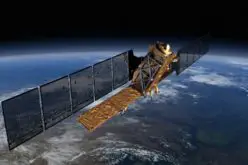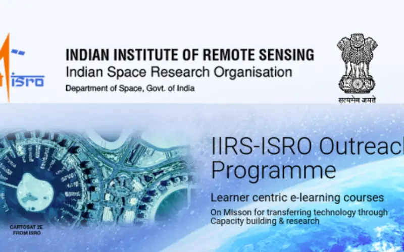
To further enhance the outreach of geospatial science and technology Indian Institute of Remote Sensing (IIRS), Indian Space Research Organisation (ISRO) offers Massive Open Online Courses (MOOC) for international participants. ISRO has recently launched an online course on SAR Data Processing and its Applications. It is a free of cost course for all those interested in SAR data processing and its applications.
This course will help you to understand the basics of SAR data processing, how to process SAR data using the ISRO’s in-house software, and how to use the software for various applications.
The content of this course will be updated as new releases are made by ISRO. The
The course will be offered by live and interactive mode of distance learning. It is an innovative method developed by IIRS, ISRO Indian for mass scale training and education through online learning platform.Electronic Collaborative Learning and Knowledge Sharing System (E-CLASS) is an indigenous active learning management system developed by IIRS, ISRO India.
Students have to use E-CLASS and E-CLASS LMS. Electronic Collaborative Learning and Knowledge Sharing System (E-CLASS) is an indigenous active learning managment system developed by Indian Institute of Remote Sensing (IIRS), ISRO India. E-CLASS is used for joining live & interactive online courses offered by IIRS, ISRO Dehradun India. The live sessions are conducted during a defined date and time slots.
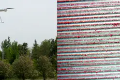
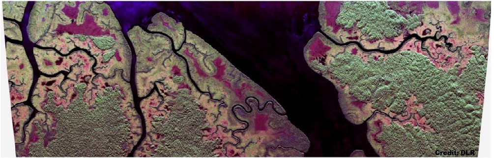
Also, read – Free and Open Source SAR Image Processing Software
The E-CLASS LMS is an Learning Management System (LMS) for the students of Massive Open Online Courses (MOOCs). These courses are flexible and the learners can join it anytime as per their convenience during course duration. The e-learning contents for MOOCs are available as SCROM packages, Video sessions, Quiz and assessment modules, study materials etc. The Teachers and Learners of MOOCs can join through this platform. The E-CLASS LMS is developed based on Moodle.
Who can apply for the course?
The course is open for Government officials and professionals, educators, university students and other stakeholders working in the field of disaster management.
How to Apply?
Candidates can apply for the online course for SAR Data Processing by logging into the IIRS platform. If you are already registered then you can use existing login details to attend the course.
Read full details before applying on the official website.