
GIS

How Digital Utility Maps Support Safer Infrastructure Planning
Infrastructure planning has always depended on one essential question: what is already in the ground? Before a road is widened, a housing development is approved, a drainage system is redesigned,
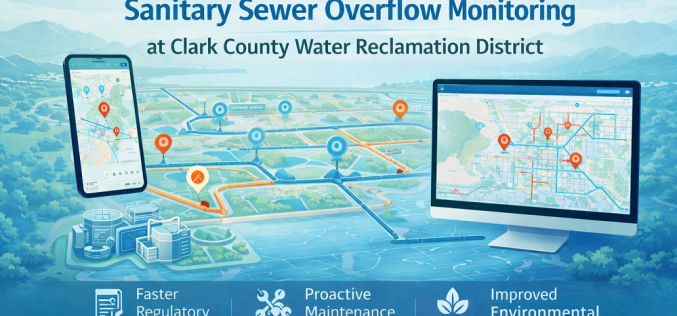
Esri GIS Spatial Analysis Transforms Sanitary Sewer Overflow Monitoring at Clark County Water Reclamation District
Clark County Water Reclamation District (CCWRD) in Nevada has deployed a fully automated GIS spatial analysis workflow using Esri’s ArcGIS platform to revolutionise how it monitors, reports, and responds to
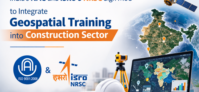
NAC and NRSC Sign MoU to Integrate Geospatial Training into Construction Sector
The National Academy of Construction (NAC) and the National Remote Sensing Centre (NRSC), a primary earth observation centre of the Indian Space Research Organisation (ISRO), have signed a Memorandum of
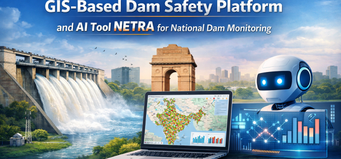
India Launches GIS-Based Dam Safety Platform and AI Tool NETRA for National Dam Monitoring
India has launched a suite of digital tools to strengthen the monitoring and governance of dam safety, including a GIS-based interactive mapping interface and an AI-powered inspection analysis platform called
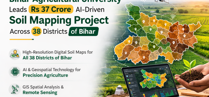
Bihar Agricultural University Leads Rs 37 Crore AI-Driven Soil Mapping Project Across 38 Districts
Bihar Agricultural University (BAU), Sabour is spearheading a Rs 37 crore National Soil Mapping Project that will produce high-resolution digital soil maps for all 38 districts of Bihar using artificial

Genesys International Launches India’s First Advanced GPR System for 3D Underground Utility Mapping
Mumbai-based geospatial firm Genesys International Corporation Ltd has officially launched India’s first advanced Ground Penetrating Radar (GPR) solution from IDS GeoRadar for high-resolution 3D underground utility mapping. Announced on 6
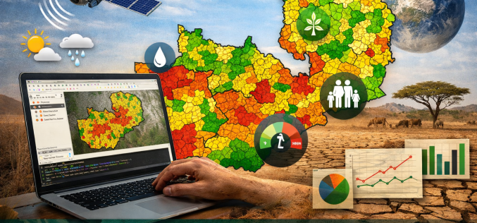
Open-Source Geospatial Framework for Drought Risk Mapping in Zambia
Recurrent droughts continue to pose a significant threat to Zambia’s agricultural productivity, water resources, and socio-economic stability. The increasing variability of rainfall patterns across southern Africa has intensified the need
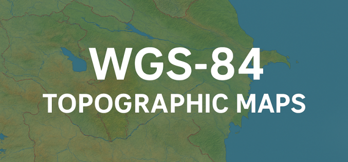
Azerbaijan Unveils New WGS-84 Topographic Maps Under Unified Geodetic System
In a significant step toward modernising cartographic data, Azerbaijan has initiated the creation of new topographic maps under the international geodetic standard WGS‑84. According to Lieutenant General Azer Aliyev, Chief
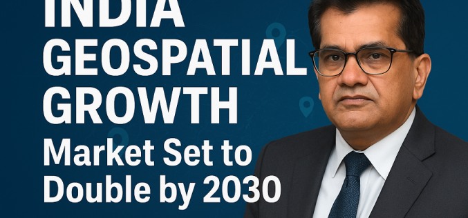
India Geospatial Growth to Reach ₹1.06 Lakh Crore by 2030, Says Amitabh Kant
India’s geospatial sector is entering a decisive phase of expansion, with senior government advisor Amitabh Kant projecting the market to reach nearly ₹1.06 lakh crore by 2030. The current valuation
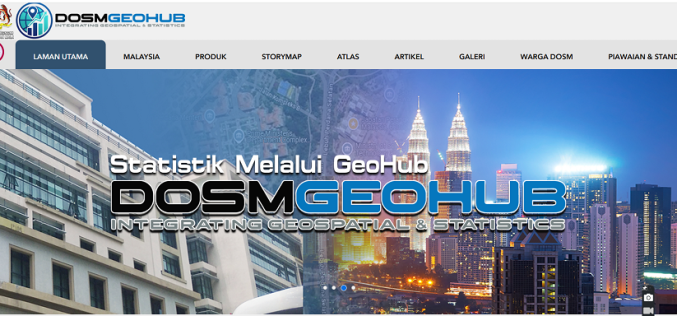
Malaysia Unveils GEOFHUB to Advance Geospatial Data Integration Nationwide
Malaysia has taken a major step toward modern data-driven governance with the launch of GEOFHUB, a geospatial-enabled national data platform developed by the Department of Statistics Malaysia (DOSM). By integrating
