
Webinars
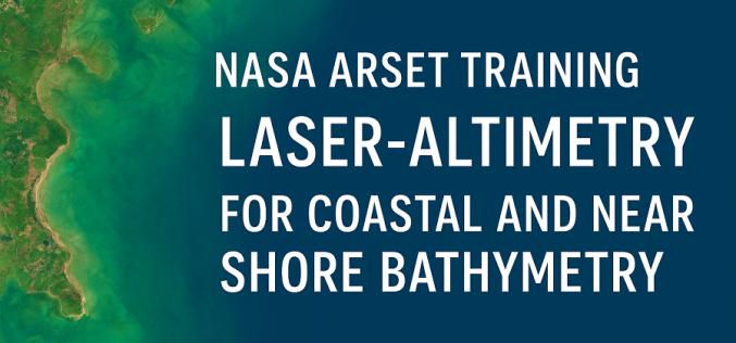
NASA ARSET Training Opportunity for Coastal Mapping: Coastal Laser-Altimetry
The NASA Applied Remote Sensing Training Program (ARSET) is inviting remote-sensing professionals and geospatial analysts to join a live online training titled “NASA Satellite Laser Altimetry for Coastal and Near-Shore

NASA to Host Training on Climate-Sensitive Disease Risks
NASA’s Earthdata program is rolling out a new training designed to strengthen global capacity in tracking and forecasting Climate-Sensitive Disease Risks. The Applied Remote Sensing Training (ARSET) initiative will conduct

NASA ARSET Training on Solar-Induced Fluorescence Monitoring for Vegetation
NASA’s Applied Remote Sensing Training (ARSET) program has announced a new online course focused on solar-induced fluorescence monitoring, designed to enhance understanding of vegetation dynamics under changing environmental conditions. The
NASA ARSET Training Announcement: Introduction to NASA Snow and Ice Data Products and Applications for Water Resources Management
The cryosphere—Earth’s frozen water on or beneath the surface—includes snow, glaciers, ice sheets, sea ice, and permafrost. It stores about 75% of the planet’s freshwater, mostly in glaciers and permafrost
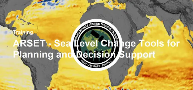
NASA ARSET Training- Sea Level Change Tools for Planning and Decision Support
Sea level change is accelerating, currently rising at approximately 3 mm per year—and this pace is expected to increase further throughout the next century. To track and analyze past, present,

Autodesk’s Free Webinars: Master BIM and GIS Integration with 7 Expert Sessions
Autodesk has introduced a suite of on-demand webinars to help professionals enhance their skills in integrating BIM (Building Information Modeling) and GIS (Geographic Information Systems). By offering actionable insights and
NASA ARSET Training Announcement: Earth Observations of Blue Carbon Ecosystems
Nature-based climate solutions are becoming essential in the global effort to mitigate greenhouse gas emissions, particularly as nations strive to meet the Paris Agreement’s goal of limiting temperature rise to

FlytBase and Pix4D Partner to Streamline Drone Data Processing Workflows
FlytBase, the leading drone autonomy software platform, announces a strategic partnership with Pix4D, the leading photogrammetry platform for terrestrial and drone mapping. This integration will enable FlytBase users to seamlessly

Training Announcement – Drought Monitoring, Prediction, and Projection using NASA Earth System Data
The United Nations has documented that drought frequency and duration have increased globally since 2000. According to this report 2.3 billion people around the world are currently facing water stress.
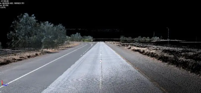
Trimble Webinar: Mobile Mapping Workflows for Corridor Deliverables in TBC
The webinar will dive into the Mobile Mapping workflows available in TBC to process data using registration tools and then prepare that data for final corridor deliverables.
