
Remote Sensing
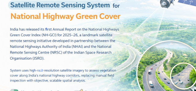
India Launches Satellite Remote Sensing System for National Highway Green Cover
India has released its first Annual Report on the National Highways Green Cover Index (NH-GCI) for 2025–26, a landmark satellite remote sensing initiative developed in partnership between the National Highways
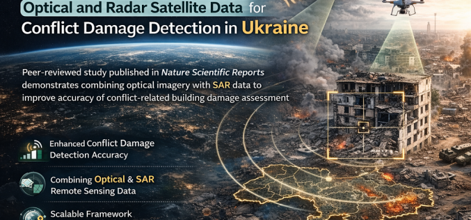
Researchers Integrate Optical and Radar Satellite Data for Conflict Damage Detection in Ukraine
A new peer-reviewed study published in Nature Scientific Reports has demonstrated how combining optical satellite imagery with Synthetic Aperture Radar (SAR) remote sensing data can improve the accuracy of conflict-related
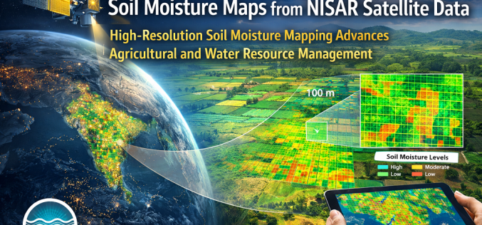
High-Resolution Soil Moisture Mapping from NISAR Satellite Data
India’s National Remote Sensing Centre (NRSC), operating under ISRO, has demonstrated high-resolution soil moisture mapping at 100 × 100 metre resolution using data from the NASA-ISRO Synthetic Aperture Radar (NISAR)
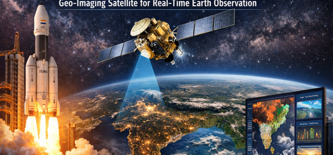
ISRO Set to Launch GISAT-1A Geo-Imaging Satellite for Real-Time Earth Observation
India’s Indian Space Research Organisation (ISRO) is preparing to launch GISAT-1A (also designated EOS-05), a next-generation geo-imaging satellite designed to deliver near-real-time Earth observation of the Indian subcontinent from geostationary
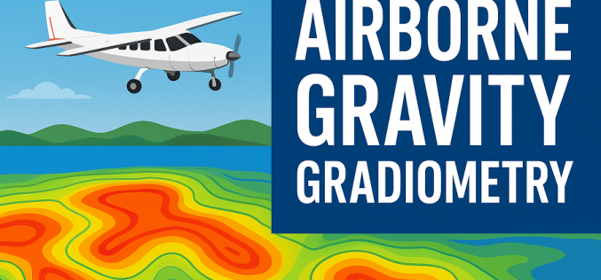
Indonesia Launches Airborne Gravity Gradiometry Mission to Map New Oil and Gas in Sulawesi
Indonesia has launched an ambitious airborne survey across Sulawesi to locate new oil and gas reserves, marking a major push to strengthen national energy security. The Geological Agency began the
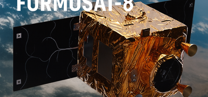
Taiwan Launches FORMOSAT-8 for Sharper Satellite Imaging
The first satellite of Taiwan’s home-grown earth-observation constellation, FORMOSAT-8, successfully blasted off on 28 November 2025 from the Vandenberg Space Force Base in California. Named “Chi Po-lin Satellite,” after the
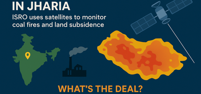
Satellite Fire Mapping Brings New Hope for Jharia’s Coalfield Crisis
Indian Space Research Organisation (ISRO) has entered a pivotal collaboration to employ advanced remote sensing for the long-standing problem of the Jharia Coalfield. The joint initiative marks a major step
China and Indonesia Launch Joint Space Cooperation for Environmental Monitoring
China and Indonesia have strengthened their technological and environmental ties through a landmark agreement to establish a satellite-based remote sensing centre. The initiative, marking a new phase of China-Indonesia Space

Nigeria Reinforces Space Ties: NASRDA Engages ISRO for Deeper Collaboration
Nigeria’s National Space Research and Development Agency (NASRDA) has deepened its space cooperation with India through a high-level delegation visit to the Indian Space Research Organisation (ISRO) headquarters in Bengaluru.

NASA ARSET Training on Solar-Induced Fluorescence Monitoring for Vegetation
NASA’s Applied Remote Sensing Training (ARSET) program has announced a new online course focused on solar-induced fluorescence monitoring, designed to enhance understanding of vegetation dynamics under changing environmental conditions. The
