GIS
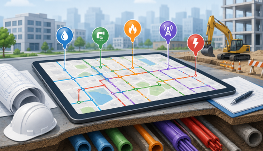
Infrastructure planning has always depended on one essential question: what is already in the ground? Before a road is widened,


Remote Sensing
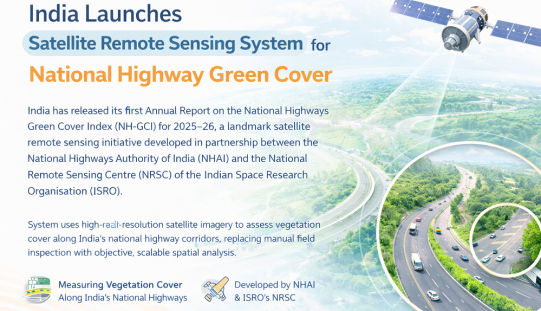
India has released its first Annual Report on the National Highways Green Cover Index (NH-GCI) for 2025–26, a landmark satellite


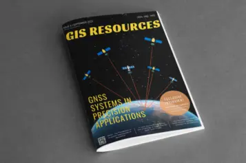

GNSS
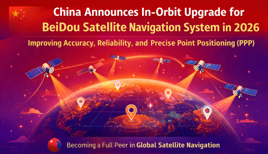
China’s BeiDou Navigation Satellite System (BDS) is set to undergo a significant in-orbit upgrade, the China Satellite Navigation Office announced


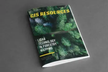
LiDAR

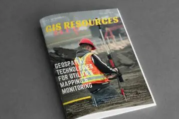
India has taken a major step in smart port infrastructure: V.O. Chidambaranar Port Trust (VOC Port) in Tuticorin, Tamil Nadu,


Photogrammetry
Phase One has released the iX Suite, a photogrammetry workflow software. The iX Suite is a comprehensive software suite for