
Archive

Towards a Geospatial Information Society
Anyone who is reading this technical journal would be aware of the terms ‘data’, ‘geospatial data’, ‘information’ and ‘geospatial information’ and the context in which the terms are being used.
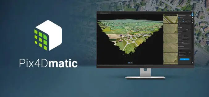
Pix4Dmatic Latest Digital Photogrammetry Software
Pix4D a leader in digital photogrammetry software provider has launched Pix4Dmatic. Pix4Dmatric software is more accurate and apt for fast corridor and large scale mapping. Pix4Dmatic is designed to work
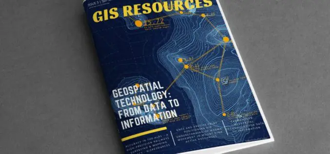
GIS Resources Magazine (Issue 3 | September 2020): Geospatial Technologies: From Data to Information
The edition titled “Geospatial Technologies: From Data to Information” focuses on the use of various geospatial technologies in the collection of spatial data and then transforming into information.
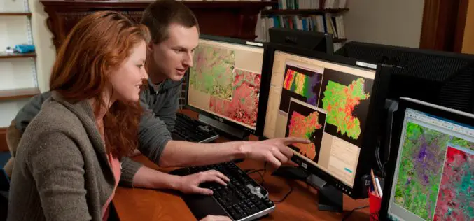
A Career in GIS
Increasingly, GIS careers have evolved to beyond just having people who only have technical roles, as highlighted by Adam Carnow, community evangelist at ESRI, in the Mapscaping Podcast.
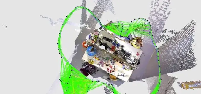
What is SLAM Algorithm and How SLAM Work?
SLAM or Simultaneous Localization and Mapping is an algorithm that allows device/robot to build its surrounding map and localize its location on the map at the same time.
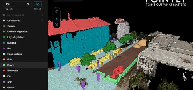
Pointly – Next Level 3D Point Cloud Classification Tool Launched
Supper & Supper has launched Pointly, the solution enabling accelerated manual 3D point cloud classification using innovative AI techniques.
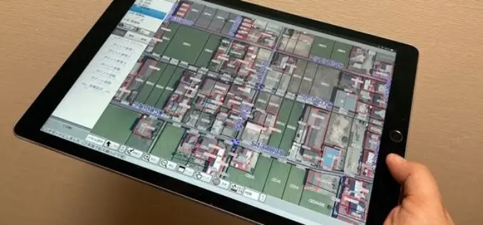
Japanese City Using GIS on iPads for Field Survey
The City of Tamba in Hyogo prefecture, Japan, performs field survey work using a mobile GIS application designed for Apple iPad tablet computers.

Why Cybersecurity Is More Important Than Ever For Your Business?
Why Cybersecurity is important than ever for your business. There are many reasons to divert attention to have proper cybersecurity practices.
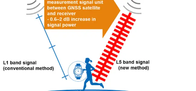
Sony to Announce Release of High-Precision GNSS Receiver LSIs for IoT and Wearable Devices
Sony has announced the release of High-Precision GNSS Receiver with the industry’s lowest power consumption for Dual-Band positioning operation.

Trimble Announces the Next Evolution of its Flagship GNSS Solution
Trimble introduced the Trimble R12i GNSS receiver, the latest addition to its Global Navigation Satellite System (GNSS) portfolio.
