
Posts From GIS Resources

How CropSmart Digital Twin is Revolutionizing Precision Agriculture
In an era where precision agriculture is pivotal for sustainable food production, the CropSmart Digital Twin (CSDT) emerges as a groundbreaking tool designed to revolutionize crop management. The CropSmart Digital
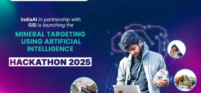
IndiaAI and GSI Launched Hackathon on AI-Driven Mineral Targeting in India
In a pioneering effort to modernize mineral exploration, IndiaAI, an Independent Business Division under the Digital India Corporation (DIC), Ministry of Electronics & IT (MeitY), in collaboration with the Geological

Xona Space Systems Announces Collaboration with Trimble to Deliver Next-Gen Navigation Services
Xona Space Systems (Xona), a leading pioneer of advanced commercial satellite navigation solutions announces a new collaboration with Trimble® (Nasdaq: TRMB), a global leader in construction, transportation and geospatial technology. Xona and Trimble

New QGIS Plugin Brings WCPS-Powered Datacube Querying to Open-Source GIS
The Open-Source GIS community welcomes a powerful new addition: the QGIS WCPS Plugin, enabling seamless querying and visualization of multidimensional datacubes. This innovative plugin integrates the OGC Web Coverage Processing Service (WCPS) standard,
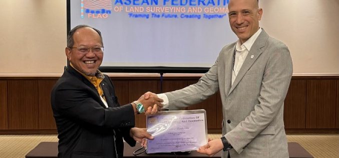
Marcos Garcia of RIEGL Asia Pacific Attends 91st ASEAN Flag Council Meeting
Marcos Garcia, Managing Director of RIEGL Asia Pacific, attended the 91st ASEAN Flag Council Meeting to officially receive the certificate of corporate membership of the ASEAN Federation of Land Surveying
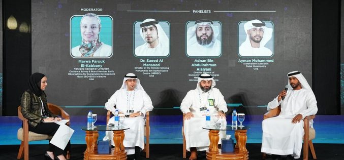
The 2nd MENA Geospatial Forum 2025 Opens with Strong Industry Engagement, Advancing Regional Geospatial Innovation
The second edition of the MENA Geospatial Forum launched with resounding success, gathering leading experts, policymakers, and industry stakeholders to explore the latest advancements in geospatial technologies and their transformative

LiDAR-Powered Cycling Safety in the Netherlands
The Netherlands, a country renowned for its cycling culture, is taking a major step forward in road safety with LiDAR-powered cycling safety solutions. Researchers at Delft University of Technology have

Telangana Launches LiDAR Survey for One Map Hyderabad
The Telangana government has initiated the One Map Hyderabad project, a large-scale LiDAR survey aimed at improving urban planning and infrastructure management. This project will consolidate critical urban data, such
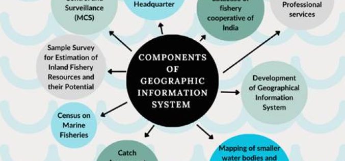
Satellite Technology in Fisheries Driving India’s Growth
India’s fisheries sector is undergoing a digital transformation, with Satellite Technology in Fisheries playing a crucial role. From real-time monitoring to resource management, these advancements are improving efficiency, ensuring sustainability,
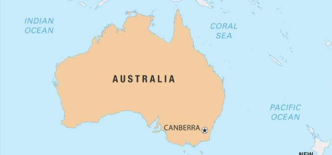
Melbourne Firm’s GeoAI Partnership in Australia Boosts AI-Driven Mapping
Melbourne-based geospatial analytics firm, The Spatial Distillery Company, has partnered with Swiss artificial intelligence provider Picterra. This GeoAI partnership in Australia aims to improve satellite and drone image analysis, helping
