
Posts From GIS Resources
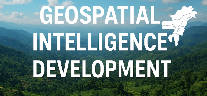
Mizoram Governor Calls for Geospatial Intelligence Development in the Northeast
The Governor of Mizoram has issued a strong appeal for wider adoption of modern mapping and Earth-observation tools, saying they are essential for shaping a climate-ready and sustainable future for
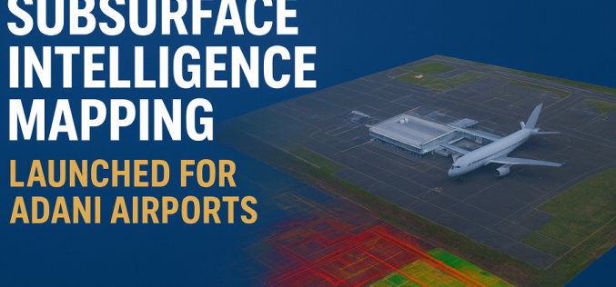
Subsurface Intelligence Mapping: Genesys Launches India’s First 3D Survey of Adani Airport
In a major stride toward India’s infrastructure modernisation, Genesys International has launched the country’s first comprehensive 3D subsurface mapping project, specifically for six airports operated by Adani Group. The contract,

The Fastest Way to Georeference Maps Online: Georeferencer.ai
Georeferencer.ai is here to make georeferencing maps faster, easier, and more accessible than ever. With just a few clicks, anyone can align maps to real-world coordinates without special software or
ESA and GEOSAT Join Forces to Accelerate Space Entrepreneurship and Sustainable Innovation
The European Space Agency (ESA) has signed a Letter of Intent with GEOSAT, marking an important milestone in advancing Europe’s space commercialisation landscape. Through ESA’s Partnership Initiative for Commercialisation (EPIC),

UK Bolsters Satellite PNT Resilience with New Cross-Government Push
The UK Hydrographic Office (UKHO) has taken an important step toward enhancing the United Kingdom’s Positioning, Navigation and Timing (PNT) infrastructure by hosting the first cross-government geodesy and PNT working
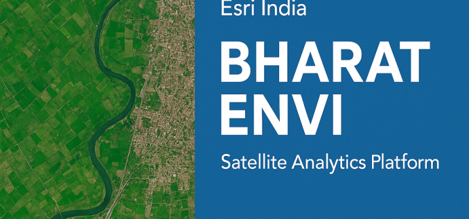
Esri India Launches Bharat ENVI — Satellite Data Analytics Boost for India
Bharat ENVI is a newly launched geospatial image-processing and analysis software by Esri India. It integrates the widely used Indo ArcGIS platform with advanced remote sensing tools — enabling Indian

Taiwan Launches FORMOSAT-8 for Sharper Satellite Imaging
The first satellite of Taiwan’s home-grown earth-observation constellation, FORMOSAT-8, successfully blasted off on 28 November 2025 from the Vandenberg Space Force Base in California. Named “Chi Po-lin Satellite,” after the
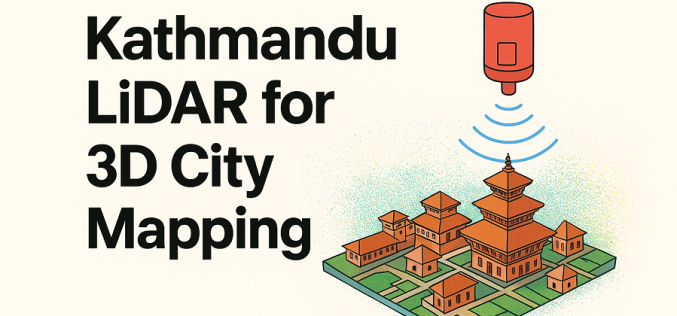
Kathmandu Explores LiDAR for 3D City Mapping
Kathmandu Metropolitan City (KMC) has recently announced plans to explore advanced LiDAR-based surveys to build detailed three-dimensional maps and a city-wide digital twin. In a recent session by the city’s
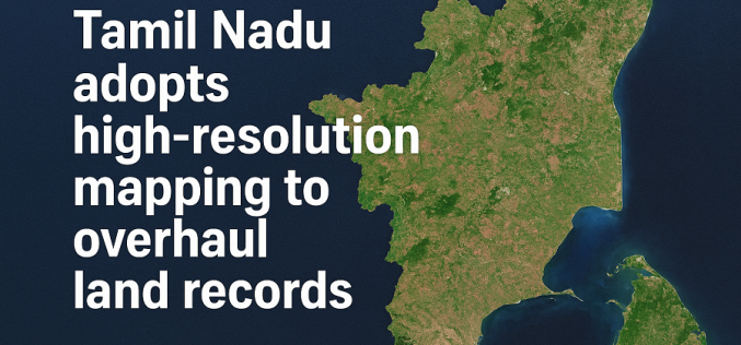
Tamil Nadu Adopts High-resolution Mapping to Overhaul Land Records
Tamil Nadu is preparing for a major upgrade in how land records are maintained, with the government launching a statewide project to use high-resolution mapping for modernising its land database.
New Global Satellite Resource to Support Humanitarian Navigation and Infrastructure Tracking
A new global dataset released by the HeiGIT (Heidelberg Institute for Geoinformation Technology) makes it possible to distinguish between paved and unpaved roads worldwide with unprecedented consistency. Derived from high-resolution
