
Posts From GIS Resources
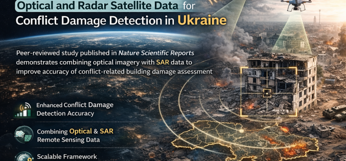
Researchers Integrate Optical and Radar Satellite Data for Conflict Damage Detection in Ukraine
A new peer-reviewed study published in Nature Scientific Reports has demonstrated how combining optical satellite imagery with Synthetic Aperture Radar (SAR) remote sensing data can improve the accuracy of conflict-related
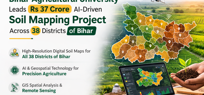
Bihar Agricultural University Leads Rs 37 Crore AI-Driven Soil Mapping Project Across 38 Districts
Bihar Agricultural University (BAU), Sabour is spearheading a Rs 37 crore National Soil Mapping Project that will produce high-resolution digital soil maps for all 38 districts of Bihar using artificial

Genesys International Launches India’s First Advanced GPR System for 3D Underground Utility Mapping
Mumbai-based geospatial firm Genesys International Corporation Ltd has officially launched India’s first advanced Ground Penetrating Radar (GPR) solution from IDS GeoRadar for high-resolution 3D underground utility mapping. Announced on 6
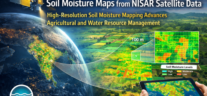
High-Resolution Soil Moisture Mapping from NISAR Satellite Data
India’s National Remote Sensing Centre (NRSC), operating under ISRO, has demonstrated high-resolution soil moisture mapping at 100 × 100 metre resolution using data from the NASA-ISRO Synthetic Aperture Radar (NISAR)
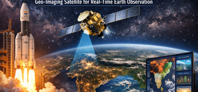
ISRO Set to Launch GISAT-1A Geo-Imaging Satellite for Real-Time Earth Observation
India’s Indian Space Research Organisation (ISRO) is preparing to launch GISAT-1A (also designated EOS-05), a next-generation geo-imaging satellite designed to deliver near-real-time Earth observation of the Indian subcontinent from geostationary
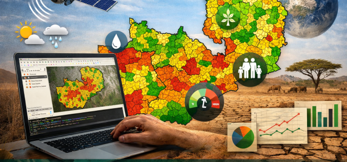
Open-Source Geospatial Framework for Drought Risk Mapping in Zambia
Recurrent droughts continue to pose a significant threat to Zambia’s agricultural productivity, water resources, and socio-economic stability. The increasing variability of rainfall patterns across southern Africa has intensified the need
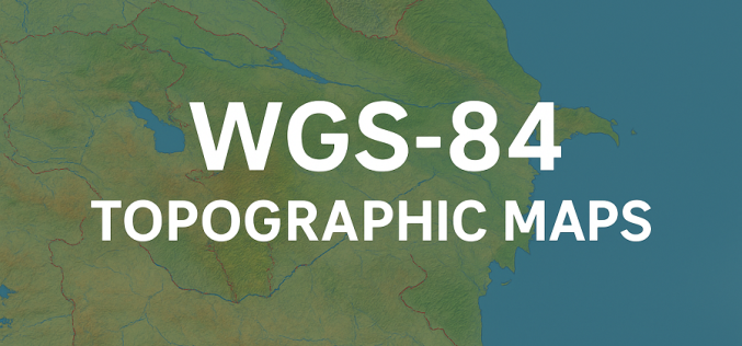
Azerbaijan Unveils New WGS-84 Topographic Maps Under Unified Geodetic System
In a significant step toward modernising cartographic data, Azerbaijan has initiated the creation of new topographic maps under the international geodetic standard WGS‑84. According to Lieutenant General Azer Aliyev, Chief
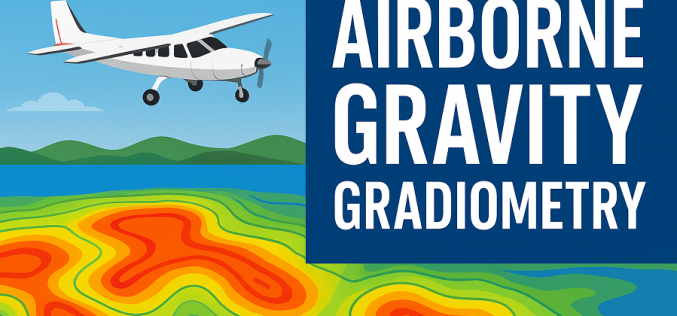
Indonesia Launches Airborne Gravity Gradiometry Mission to Map New Oil and Gas in Sulawesi
Indonesia has launched an ambitious airborne survey across Sulawesi to locate new oil and gas reserves, marking a major push to strengthen national energy security. The Geological Agency began the
India Geospatial Growth to Reach ₹1.06 Lakh Crore by 2030, Says Amitabh Kant
India’s geospatial sector is entering a decisive phase of expansion, with senior government advisor Amitabh Kant projecting the market to reach nearly ₹1.06 lakh crore by 2030. The current valuation
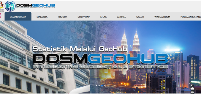
Malaysia Unveils GEOFHUB to Advance Geospatial Data Integration Nationwide
Malaysia has taken a major step toward modern data-driven governance with the launch of GEOFHUB, a geospatial-enabled national data platform developed by the Department of Statistics Malaysia (DOSM). By integrating
