Geospatial Data: New Nationwide UAS Solution Provides Imagery at 50x the Resolution of Commercial Satellites
Beagle Systems, a Hamburg-based startup can provide on demand image data which is independent of the weather thanks to the long range sensor drones flying beneath the cloud cover.
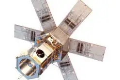
Satellites have long been the preferred choice for gathering geospatial data for agriculture, forestry, infrastructure and construction projects thanks to the wide swath, high speed and regular frequency of revisit times. But despite the benefits of satellites, they do have some drawbacks, the biggest of which is a dependence on the weather for optical imagery. Revisit time for satellites, while reliable, are still limited to up to 5-10 days for some satellite image providers, and that lead time can increase even further depending on weather during revisits.
Beagles Systems GmbH, a Hamburg-based startup wants to compete with satellites on these terms and their drone network solution offers on-demand imagery, from a remote location, at resolutions up to 50 times higher than currently available from commercial satellite data providers.
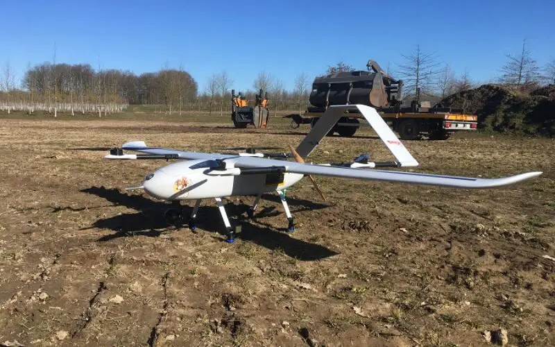
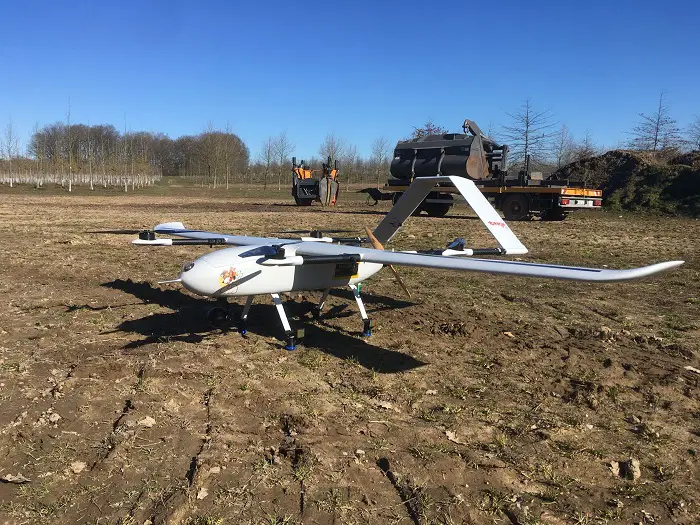
Specifically, with the aid of their Beagle M drone in combination with the corresponding sensor technology the company is capable of delivering image data in a resolution of just 1cm per pixel at revisit times many times faster than satellites are capable of, regardless of cloud coverage.

Drones-as-a-Service
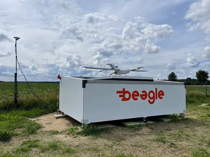
The charging hangars play an important role in delivering the on-demand services offered by Beagle Systems. Satellites do not require fuel for propulsion, as they are in a constant state of free-fall (orbit) around the planet.
Earth-based UAV systems do not benefit from this and so need constant charging/refueling in order to maintain the responsiveness and endurance needed for on-demand services over large areas – and this is where the Beagle Systems charging hangar comes into play.
After completing an autonomous inspection flight (up to 200km on a single charge) the drone returns to its hangar where it charges for its next mission. The drone takes just 90 minutes to become fully charged and can then advance onto its next mission, without any physical contact between operator and aircraft.
Weather Dependence of Satellites
As mentioned previously, satellite data (especially in optical bands) is extremely dependent on the weather. If an area under observation is obscured by clouds when the satellite revisits the location, then there is a risk of not being able to obtain the geodata if the sky is overcast. In the case of a satellite with a long revisit time, subsequent attempts to capture the data can often lead to a 2-4 week lead time in delivery of local image data.
“This can be done much faster with the UAS network,” said Oliver Lichtenstein, one of the three co-founders of Beagle Systems. “Our goal is to provide our customers with the desired image data with a lead time of only 48 hours.”
Beagle Systems specializes in long-distance flights with their self-developed unmanned aerial systems (UAS) and custom charger system. The Beagle M model can scan and record 200 hectares per flight on a single 90 minute charge from the charger hangar network. The drones of the Hamburg-based start-up are currently already in use for the inspection and monitoring of large infrastructure facilities such as power grids.
“We want to provide a fast service of the highest quality to all industries that rely on accurate data,” says Mitja Wittersheim, COO of Beagle Systems. “Most of our customers are currently in the domain of linear infrastructure. These customers operate critical assets such as electricity distribution infrastructure over expansive areas and they require up-to-date data on their assets, often at a moment’s notice. With our network of long-range sensor drones and charging hangars, customers are able to obtain actionable information on the status of their infrastructure assets within minutes.”
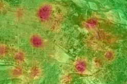
Asides from power line inspections, other possible applications include checking for pest infestations on large arable or forest areas, precision farming, and also inspection of other linear infrastructure assets such as rail networks, water, and oil and gas pipelines.
Long-range BVLOS Permit
Beagle Systems has an EU-wide flight permit for Beyond Visual Line of Site operations (BVLOS), in non-populated areas. This means that the drone can be controlled from Hamburg without the need for a pilot to be on site, or without spotters on the ground. This makes drone flights much easier and more flexible to implement.
With the ever growing network of charging stations, Beagle Systems are aiming for total coverage of Germany. To reach this goal, Beagle Systems predicts that they need to install 40 charging hangars across the nation for complete coverage – a figure they are close to achieving, with the full charging network planned for completion by 2024.
With this capability, infrastructure operators can now deploy drones on demand anywhere in Germany and can receive high quality imagery within minutes of being deployed, at costs competitive to those offered by satellite data providers.