
Archive

Leidos Advances Quantum Technology Navigation to Tackle GPS Jamming
Leidos is spearheading efforts to develop quantum technology navigation systems designed to protect critical infrastructure from GPS jamming and spoofing attacks. As GPS signals grow increasingly vulnerable to both military
NASA ARSET Training Announcement: Introduction to NASA Snow and Ice Data Products and Applications for Water Resources Management
The cryosphere—Earth’s frozen water on or beneath the surface—includes snow, glaciers, ice sheets, sea ice, and permafrost. It stores about 75% of the planet’s freshwater, mostly in glaciers and permafrost

SFL Missions Inc. Included on Team Awarded Moon Mapping Study Contract by European Space Agency (ESA)
SFL Missions Inc. is a member of the team led by NUVIEW GmbH that has been contracted by the European Space Agency (ESA) to conduct a Pre-Phase A study,within a

GPS III SV08 Launch Strengthens Anti-Jamming GPS Technology for U.S. Military
The U.S. Space Force has taken a major step forward in secure navigation with the successful launch of GPS III SV08, a next-generation satellite designed to enhance anti-jamming GPS technology.

Maxar-Saab Geospatial Defense Collaboration Boosts European Capabilities
Maxar Intelligence and Swedish defense company Saab have joined forces in a major geospatial defense collaboration to develop next-generation multi-domain battlespace solutions. The strategic agreement aims to integrate advanced satellite
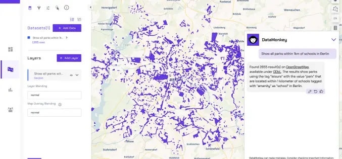
Finding the Map in the Mess: Making Geospatial Data Easy
About Authors: Irene Ternes & Engy El Shenawy, DataMonkey Whether we notice it or not, our world is shaped by location data. From climate risk and infrastructure planning to supply

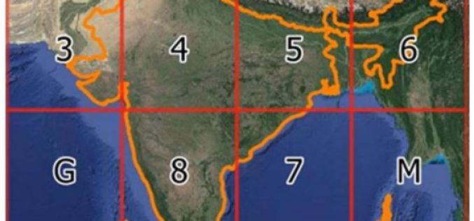
India Reaffirms Glacier Preservation Goals at Dushanbe Meet
India has reaffirmed its commitment to Glacier Preservation at the High-Level International Conference on the International Decade for Action “Water for Sustainable Development” held in Dushanbe, Tajikistan. The Indian delegation,
India Introduces DIGIPIN – Geocoded Digital Pin for Precise Addressing
In a significant move towards enhancing India’s addressing system, the Department of Posts has introduced a new digital addressing solution called ‘DIGIPIN – geocoded digital pin’. This innovative system aims
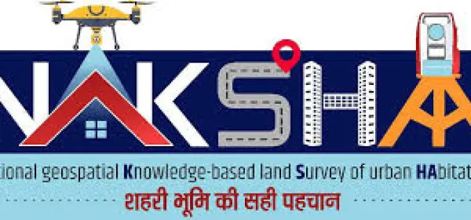
NAKSHA Capacity Building Enters Second Phase to Modernise Urban Land Surveys
The Ministry of Rural Development’s Department of Land Resources (DoLR) has initiated the second phase of the NAKSHA (NAtional geospatial Knowledge-based land Survey of urban HAbitations) capacity-building program, commencing on
