Oman to Launch AI Satellite in 2026 for Smarter Mapping and Monitoring
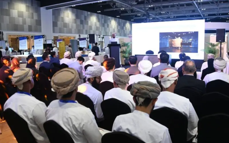
Oman Lens has announced plans to launch an AI Satellite in early 2026, marking a leap in the nation’s space technology ambitions. The satellite will combine artificial intelligence with advanced imaging systems, making it a powerful tool for environmental monitoring, disaster management, and urban planning.
The upcoming satellite will be equipped with a 50-centimeter panchromatic camera and multispectral sensors, covering RGB and near-infrared (NIR) bands. Unlike conventional satellites, this system features an onboard AI processor capable of performing over 400 trillion operations per second. This level of processing allows real-time analysis of Earth observation data, reducing dependence on ground-based computing and ensuring faster access to critical insights.
For example, the satellite can predict floods by combining multispectral imaging with AI models that identify water movement and land use changes. Farmers will benefit from crop health monitoring, distinguishing between healthy vegetation and stressed fields. Similarly, urban planners can use the imagery to map roads, detect encroachments, and assess green cover. The AI processor will also differentiate cloud cover from the Earth’s surface, providing clearer and more reliable data during adverse weather.
This mission follows Oman’s first satellite, OL1, launched in November 2024, which delivered one-metre resolution imagery. The new AI Satellite improves that capability significantly by providing sharper images, faster analysis, and greater autonomy in data handling. It aligns with Oman Vision 2040, which emphasizes innovation and sustainable development through cutting-edge technologies. The project will enhance the country’s readiness in climate resilience, resource management, and security.
Oman Lens has already partnered with organisations such as Oman Chromite Company, Ankaa Space and Technologies, and authorised resellers including Mustafa Sultan Enterprises, GIS HUB, and Bedrock Mineral Resource Consulting. Collaboration with Star Vision Space and the Bahrain Space Agency will help refine onboard AI algorithms. Once operational, the AI Satellite will offer valuable data to sectors ranging from agriculture and mining to disaster response and infrastructure development.
With this step, Oman is positioning itself as a regional leader in space-driven intelligence. The AI Satellite scheduled for launch in 2026 is not just a technological upgrade but a strategic investment in data sovereignty, innovation, and national preparedness.
Source: Muscat Daily, ONA


