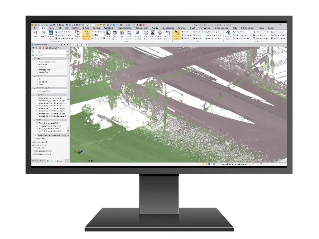
 On April 27, 2020, Trimble has announced the release of version 5.30 of Trimble Business Center (TBC) office software that enables surveyors and geospatial professionals to simplify the creation of cadastral, GIS, infrastructure inspection and tunnelling deliverables. TBC is a leading software solution to provide users with the capability to efficiently edit, process, and adjust geospatial data and create deliverables with confidence.
This latest release features for CAD and drafting, surfaces, tunnels and corridors, mobile mapping and working with field data. The highlights are below.
New features/updates included in TBC v5.3:
1. CAD Command Line – Use the new Command Line to run dozens of CAD commands by simply entering command aliases, keyboard shortcuts, and values (with occasional picking in graphic views). Using the Command Line is more keyboard-focused and therefore more efficient than running commands from the Command Pane.
2. Surfaces – Two new commands for surface tools:
3. Enhancements for corridor workflows –
4. Road Workflows –
5. Mobile Mapping –
This new feature allows you to calibrate a Trimble MX9 camera directly in TBC. A camera calibration consists of manually optimizing the offsets in the orientation of the camera(s) (boresight angles: Roll, Pitch, and Heading) in order to correct the mismatch between the image data and the laser scan data.

This new feature allows you to calibrate Trimble MX9 lasers directly in TBC. A laser calibration consists of automatically correcting the offsets in the orientation of the lasers (boresight angles: Roll, Pitch and Heading) in order to correct the mismatch between the laser scan data from different runs.
Download TBC v5.30 and learn about new features
GIS Resources is an initiative of Spatial Media and Services Enterprises with the purpose that everyone can enrich their knowledge and develop competitiveness. GIS Resources is a global platform, for latest and high-quality information source for the geospatial industry, brings you the latest insights into the developments in geospatial science and technology.

