
Tag "Orthorectified"
GIS
GIS Data
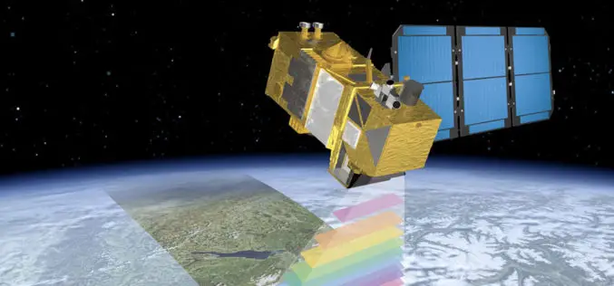
ESA Announce the Online Availability of Sentinel-2A Orthorectified Imagery
ESA is pleased to announce the availability of Sentinel-2A orthorectified products in the Sentinel Data Hub. Any products acquired from 28 November onward are available to any user. Sentinel-2 products
GIS
GIS Data
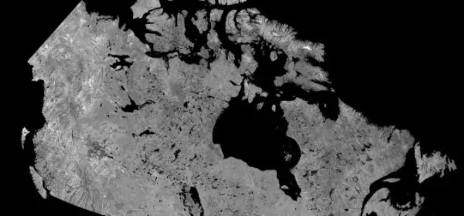
Download Free RADARSAT Data of Canada
Canada’s RADARSAT-1 is a radar satellite and was launched in November 1995. It carries a Synthetic Aperture Radar (SAR), it acquired images of the Earth day or night, in all
Research Papers
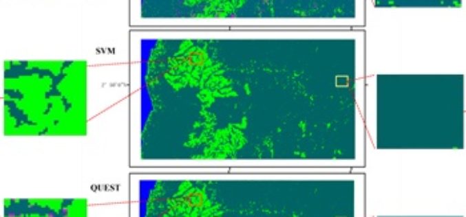
Mapping Oil Palm Plantations in Cameroon Using PALSAR 50-m Orthorectified Mosaic Images
Mapping Oil Palm Plantations in Cameroon Using PALSAR 50-m Orthorectified Mosaic Images -By: Li Li, Jinwei Dong, Simon Njeudeng Tenku and Xiangming Xiao Abstract: Oil palm plantations have expanded rapidly. Estimating either positive
