
Archive

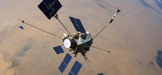
What is Digital Twin and How Does It Work?
In today’s rapidly evolving technological landscape, Digital Twin technology has emerged as a groundbreaking innovation, especially in the geospatial sector. Digital twins are virtual replicas of physical entities that mirror
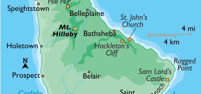
Barbados is Using Maps to Help Vulnerable Persons
Barbados has launched a new geospatial map to enhance support for its vulnerable populations. Announced by Minister of People Empowerment and Elder Affairs, Kirk Humphrey, this map aims to improve
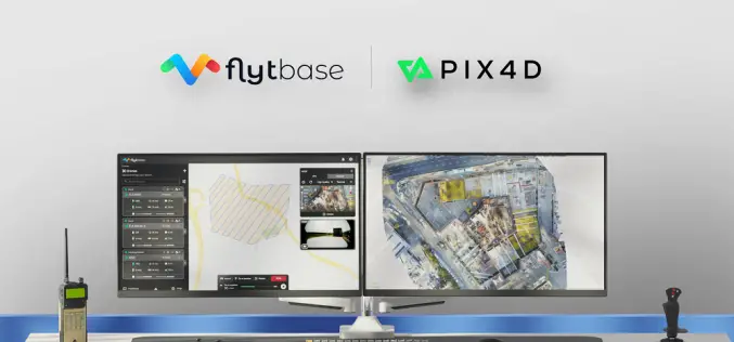
FlytBase and Pix4D Partner to Streamline Drone Data Processing Workflows
FlytBase, the leading drone autonomy software platform, announces a strategic partnership with Pix4D, the leading photogrammetry platform for terrestrial and drone mapping. This integration will enable FlytBase users to seamlessly

Harnessing Geospatial Technologies for Wildlife Conservation
Geospatial Technologies for Wildlife Conservation underscores the urgency of wildlife conservation, which has never been more pressing. With rapid habitat loss, climate change, and increased poaching, numerous species face the
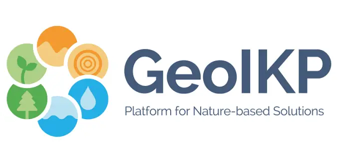
GeoIKP: Visualizing and Mitigating Hydro-Meteorological Risks
The Geospatial Information Knowledge Platform (GeoIKP) is a platform developed by the OPERANDUM project that serves as a central hub for information and resources related to Nature-Based Solutions (NBS) for
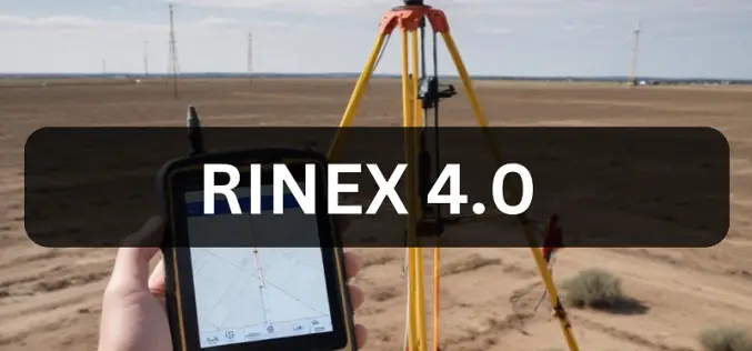
From RINEX 2.11 to 4.0: A Guide to GNSS Data Evolution
RINEX, or Receiver Independent Exchange Format, has been a cornerstone in the Global Navigation Satellite System (GNSS) community since its inception. It allows the exchange of raw satellite navigation data

Apple Maps Goes Web Challenges Google
Apple has officially launched Apple Maps on the web in a public beta, marking a bold step to challenge the dominance of Google Maps. This move allows users to access
Understanding the Importance of L5 Frequency in GNSS
The Global Navigation Satellite System (GNSS) has revolutionized the way we navigate and position ourselves in the world. With continuous advancements, one of the most significant developments in recent years

Fluid Systems Uses TatukGIS SDK for Software to Model Hydraulic Networks
Warsaw based company Fluid Systems Ltd., founded in 1993, develops proprietary software for the simulation and optimization of fluid networks (gas, water, district heating, and sewage) and carries out consultancy
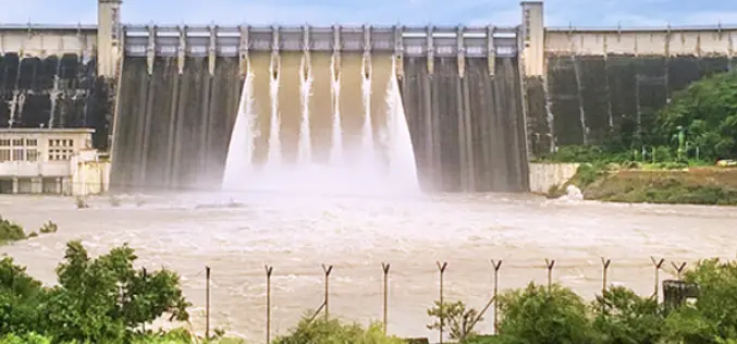
Drones and ROVs for Dam Survey
The Uttar Pradesh (UP) government has initiated a significant project utilizing drones and remote vehicles to conduct the Rihand Dam survey. The Rihand Dam in the Sonbhadra district of Uttar
