
Archive
Remote Sensing
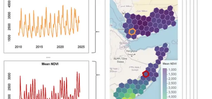
Transforming Remote Sensing Data with geeLite in R
A new R package called geeLite is helping bridge the gap between massive satellite datasets and local-level decision-making. Developed through a collaboration between the World Bank and University College London,
GIS
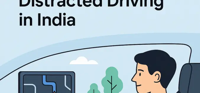
HERE and Genesys Join Forces to Tackle Distracted Driving in India
In a bold move to combat distracted driving and enhance in‑car safety, HERE Technologies and Genesys International have launched a strategic collaboration aimed at delivering next‑generation navigation systems tailored for

Featured Article
Global Positioning System
Strengthening GNSS Resilience: Trimble Leadership on IonoGuard Innovation and Solar Cycle 25
As the effects of Solar Cycle 2025 intensify, industries dependent on precise positioning—such as surveying, agriculture, construction, and autonomous systems—are facing growing challenges due to ionospheric disturbances. In response to
