Fluid Systems Uses TatukGIS SDK for Software to Model Hydraulic Networks

Warsaw based company Fluid Systems Ltd., founded in 1993, develops proprietary software for the simulation and optimization of fluid networks (gas, water, district heating, and sewage) and carries out consultancy work involving analyses performed using the software. The Company’s main product, SimNet, enables geospatial analysis in real time of measured values, such as flow volume, velocity, pressure, temperature, and fluid composition, collected at points across the network. Fast and accurate calculations and the software’s wide range of possibilities have gained recognition in the market. This is evidenced, among other things, by use of the SimNet package by Poland’s main distributor of natural gas fuel, Polska Spółka Gazownictwa. Success could not have been achieved without the graphical representation of data and results which is derived from the capabilities of the TatukGIS Developer
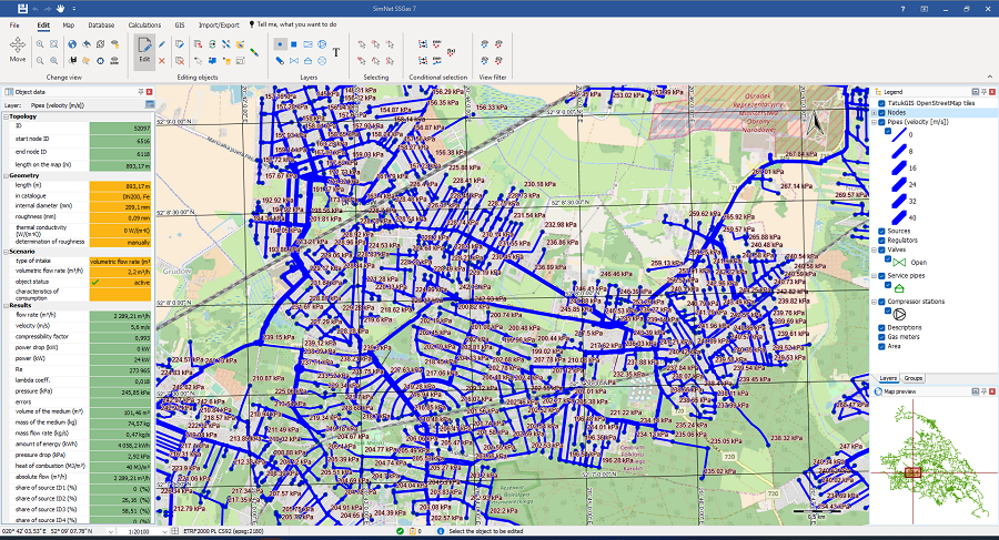
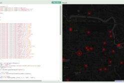
Due to the multitude of GIS systems and standards on the market, Fluid Systems’ customers value the ability (derived from the DK) to open or import data in any available format and convert the location of objects between different coordinate systems. Thanks to data correction possibilities provided in the DK, the SimNet package has been equipped with mechanisms to automatically detect and repair topology errors that are often present in imported GIS data.
Common errors encountered include section deficiencies, incorrect pipe crossings, and incorrect topology of linear objects. Corrections are required so that calculations performed on the data reflect the actual network structure. With correct structure, it is possible, for example, to visualize the range of fluid from each individual supply source at node locations throughout the network, taking into consideration the mixing of fluid from the different sources while traversing the network.
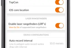
Another important aspect is the ability to integrate with various remote or web-based map resources available as WMTS, WFS or WCS services, including the TatukGIS hosted tile server with OpenStreetMap worldwide dataset.
In this way, users get a complete set of information, allowing them to verify the location and timeliness of gas, water, district heating, or sewer networks provided by industry services. TatukGIS provided layer properties, such as the base map feature, enable seamless handling of projects involving multiple, dynamically loaded datasets.
Learn more about Fluid Systems and its SimNet software at https://fluidsystems.pl/en/homepage
Learn more about the TatukGIS Developer Kernel (GIS SDK) product at: www.tatukgis.com